To ensure that TERN delivers in-demand data and that our NCRIS grant is spent in the most efficient way possible, we’re consulting with our users to guide our collection of time-series terrestrial and airborne LiDAR data.
Since 2009, TERN, together with our partners and users of our infrastructure, have been collecting a LiDAR data at numerous TERN sites using a variety of on-ground and airborne methods. LiDAR technology and the data delivered via TERN allows researchers across Australia and the world to obtain unique, accurate and robust ecosystem measurements. LiDAR data delivered by TERN are also critical for calibrating and validation global Earth Observation satellite data from NASA and other space agencies.
Collecting LiDAR data is labour intensive and, with over 780 TERN environmental monitoring sites nation-wide, costly.
To ensure that TERN continues to deliver the data that our users want and that our NCRIS grant is spent in the most efficient way possible, we’re consulting you, our stakeholders, to determine where, when and how TERN should collect LiDAR data.
Please complete the short (2min) survey below as your feedback will help us evaluate our future data collection plans.
We’ll be in touch with respondents about holding a meeting during the week of 14 June 2021.
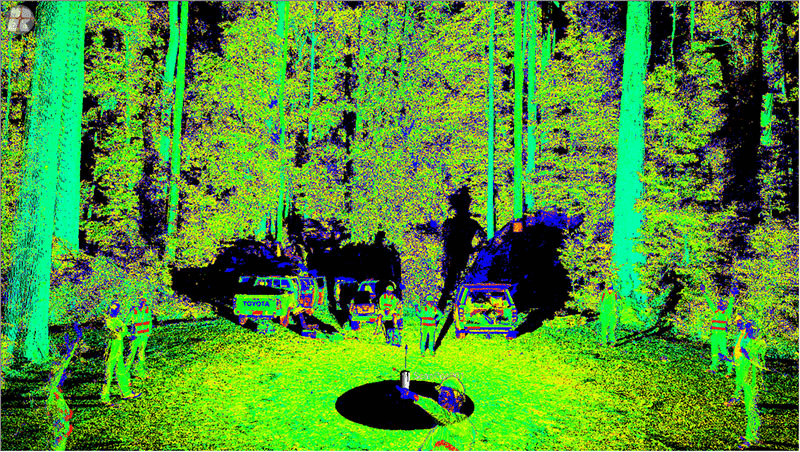
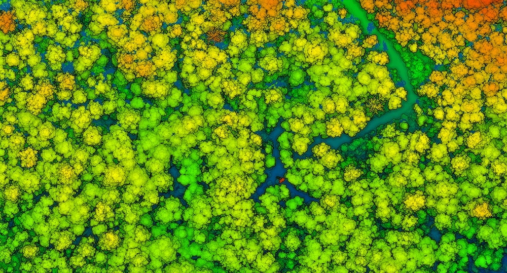
A quick scan of researchers at TERN’s Warra Tall Eucalypt SuperSite in Tasmania using Riegl Terrestrial LiDAR scanner (above); and (top) airborne LiDAR data (images courtesy of Peter Scarth and the Joint Remote Sensing Research Centre)
