Scaling-up the findings of plot and site-based research, like David’s, and integrating them with landscape-scale datasets will help farmers and land management agencies make more informed decisions.
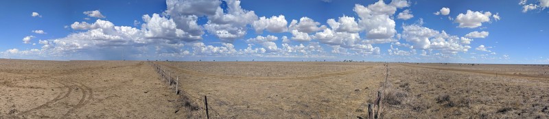
TERN has the region covered, via its Australia-wide remote sensing data on attributes including, measures of greenness/dryness, phenology and land cover, but the Mitchell Grassland site also plays another vital role in satellite-data delivery.
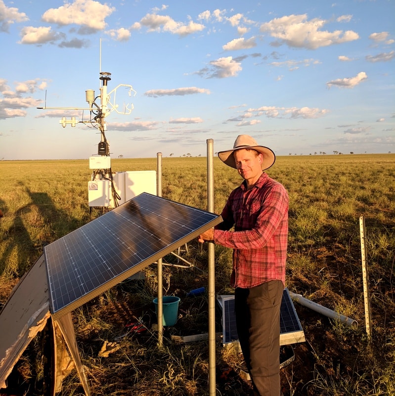
The site is regularly used by researchers from the Queensland Government, Geosciences Australia and the CSIRO to conduct the on-ground validation of nationally important Earth Observation data.
For example, the Queensland Government’s Remote Sensing Centre and its research partners at the University of Queensland and the University of Southern Queensland, are using data from the TERN site to calibrate and validate surface reflectance products from Landsat and Sentinel satellites, as well as landcover products including fractional cover and pasture biomass.
These products are used by the Queensland Government to inform policy implementation, regulation and compliance, and industry-led extension and management practice improvement programs, particularly in the grazing sector.
TERN has the region covered, via its Australia-wide remote sensing data on attributes including, measures of greenness/dryness, phenology and land cover, but the Mitchell Grassland site also plays another vital role in satellite-data delivery.
The site is regularly used by researchers from the Queensland Government, Geosciences Australia and the CSIRO to conduct the on-ground validation of nationally important Earth Observation data.
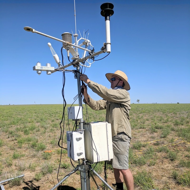
In one such example, CSIRO’s Tim Malthus has used the site to collect field data that will be used to calibrate and validate Digital Earth Australia products, including priority data on Surface Reflectance (NBAR).
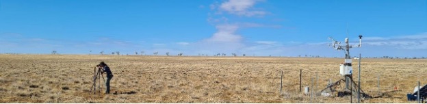
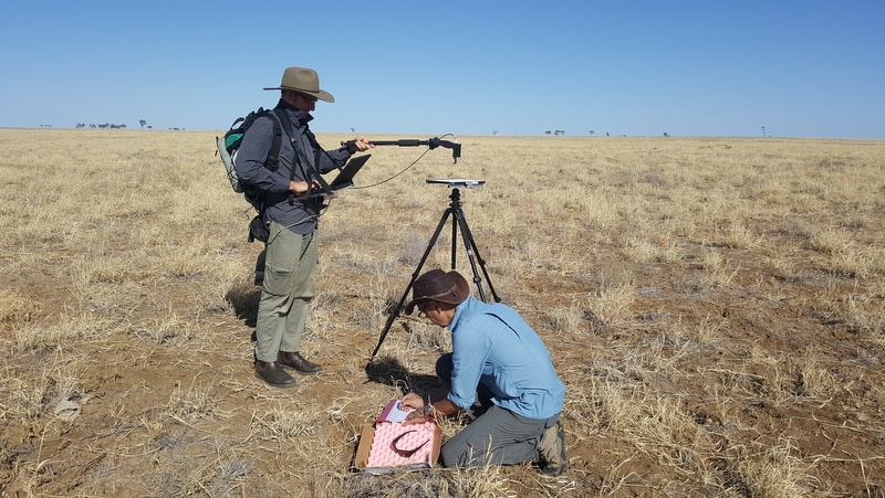
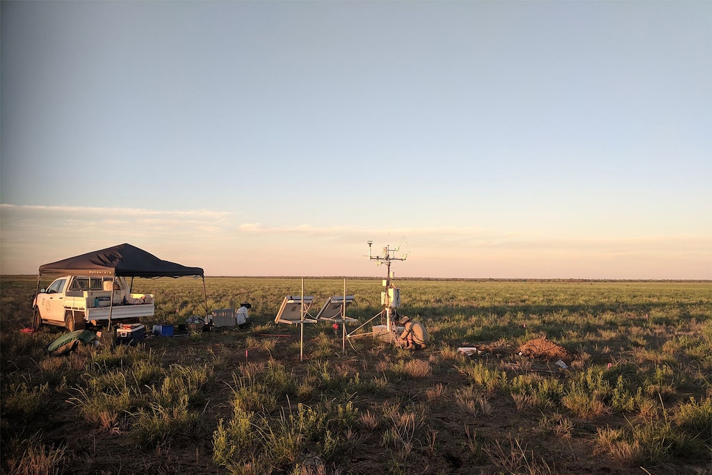
“Open-access to the TERN research site allowed our team to collect surface spectral reflectance data as part of a satellite validation campaign,” says Tim. “At the site, we used a spectroradiometer over a homogenous 1 ha plot that coincided with overpasses of the Sentinel-2 and Landsat satellites.”
“Satellite-derived surface reflectance data is instrumental in identifying and quantifying environmental change, and the on-ground data we collect at TERN sites is essential in ensuring the accuracy of the product”.