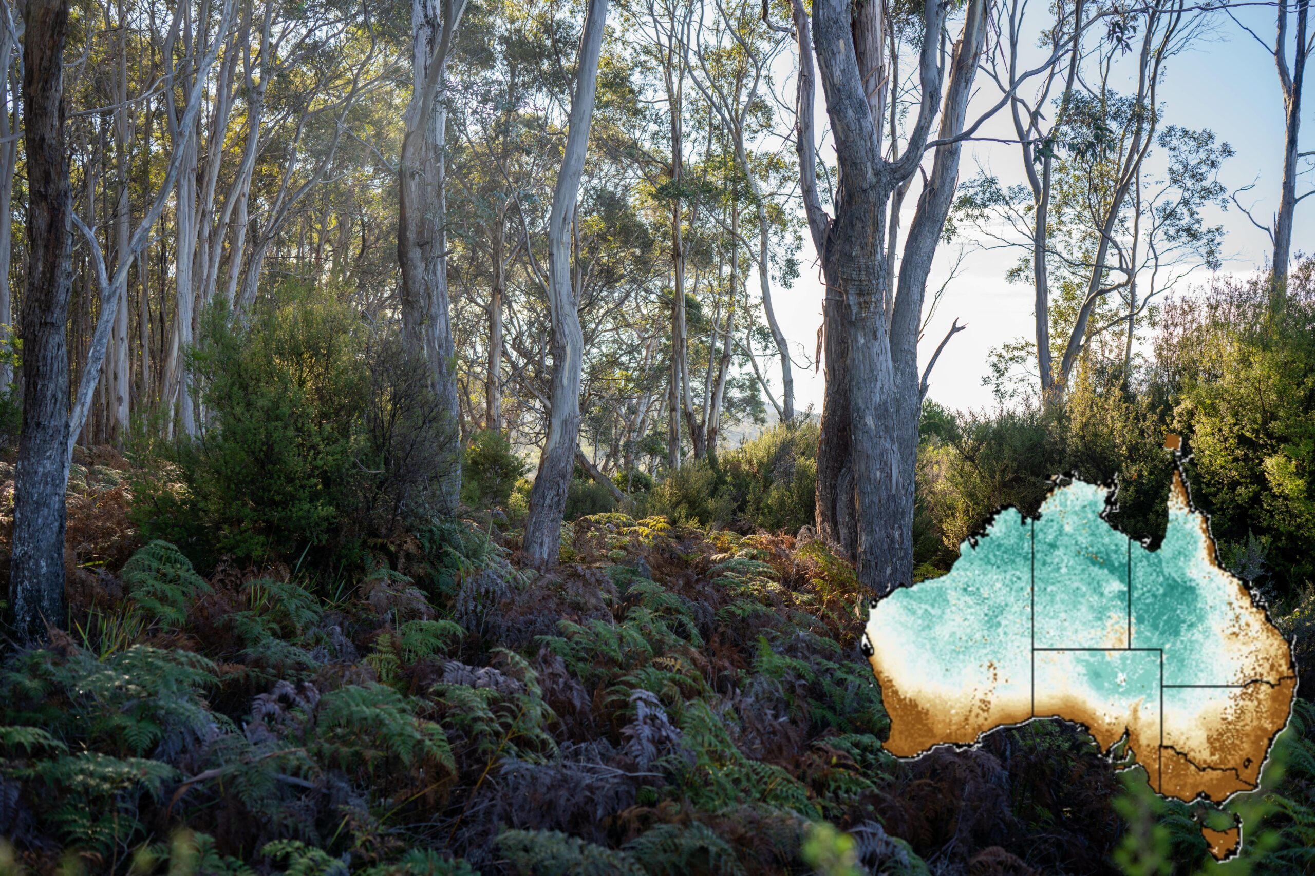
From tracking animal migration to refining climate models, TERN’s first-of-its-kind map of plant carbon isotopes is gaining international recognition, inspiring new global models and helping scientists decode the continent’s ecosystems like never before.
When TERN officially launched its Vegetation Carbon Isoscape in 2022, CSIRO research scientist and project lead Dr Samantha Munroe was excited. The first of its kind in Australia, this ecological data package includes maps defining C3 and C4 plant cover, a vegetation δ13C isoscape for the entire Australian continent, as well as a photosynthetic database that lists the pathway of all species recorded at TERN plots. It was an enormous undertaking with ambitious goals: to address a major gap in national research capacity and, in so doing, advance national and international research in a range of subjects, including food chain dynamics, animal migration, carbon fluxes, and plant productivity.
Now, a review of data accessions and mounting citations shows that the TERN Vegetation Carbon Isoscape is proving highly useful for Australian and international researchers as hoped. Sam couldn’t be happier. Moreover, she and her colleagues are just getting started.
A Continental Knowledge Gap
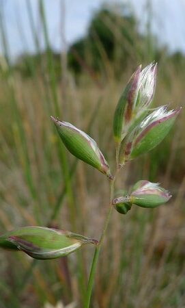
Plants play an integral role in all terrestrial ecosystems. Those plants, in turn, rely on photosynthesis to produce their own food from sunlight and water, and to achieve this, most plants use either the C3 or C4 photosynthetic pathway. These pathways differ in efficiency as well as in their sensitivity to environmental conditions such as temperature, rainfall, and soil chemistry. Therefore, knowing whether a plant uses the ‘C3’ or ‘C4’ pathway provides insight into how that species will respond to environmental conditions now and in the future. Monitoring the distribution of C3 and C4 plants across a landscape can also guide forecasting for entire regions.
Another crucial difference between C3 and C4 plants is their preference for different carbon isotopes from the atmosphere during photosynthesis. Atmospheric carbon dioxide is made up of 2 stable forms of carbon: the lighter 12C isotope, which makes up about 99%, and the heavier 13C isotope, which accounts for roughly 1%. The relative amount of 13C in air, plant tissue, soil, or anything else you might want to measure, is expressed using a value called delta carbon-13 (δ¹³C), which reflects the balance of 12C to 13C in that material.
C3 and C4 plants incorporate different amounts of 12C and 13C as they grow, and the δ13C in plant tissue reflects their isotopic preferences. During photosynthesis, C3 plants strongly prefer the lighter 12C isotope. This results in less 13C in C3 plant tissues and lower δ¹³C values. C₄ plants, on the other hand, use a different photosynthetic pathway that is less selective, so they incorporate more 13C and have higher δ¹³C values. δ13C is like a plant’s chemical fingerprint that can be tracked as carbon moves through the environment.

Source: Munroe, S. et al (2022) Landsc Ecol 37, 1987–2006
An isoscape, shortened from Isotope Landscape, is a spatially continuous prediction of vegetation δ13C values over geographical areas. In addition to providing insight into animal behaviour and movement by revealing food chain patterns, an isoscape facilitates the study of carbon exchange between the biosphere and atmosphere and can also shed light on the water use efficiency of different plant species under changing environmental conditions.
While δ¹³C isoscapes existed for other continents such as North and South America, none had been available for Australia. For Sam this represented an environmental knowledge gap on a continental scale, so she and her team got to work.
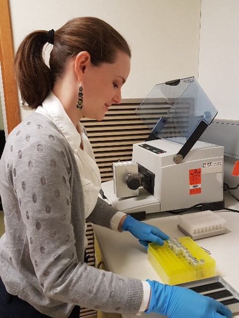
“To build our isoscape, we calculated the relative cover of C₃ and C₄ vegetation at all TERN plots,” she explains. “The average δ¹³C value in an area is largely determined by the C₃:C₄ ratio, but for many species, the photosynthetic pathway was unknown so we ended up testing over 500 species using TERN plant samples just to get the baseline data we needed.” She notes that this would not have been possible without TERN ecosystem reference plots and the many plant samples that have been collected over the years from those plots.
She and her team then combined field surveys and satellite data to create TERN’s Vegetation Carbon Isoscape: a map of C3 and C4 plant abundance as well as stable isotope values of vegetation for the whole continent.
This was made available via the TERN Data Discovery Portal and was accompanied by a publication in the journal Landscape Ecology.
Gaining Global Attention
So far, the Vegetation Carbon Isoscape has been accessed around 300 times and has been cited 11 times in peer-reviewed publications. For example, in a study published in Remote Sensing of Environment, Wang et al. used the TERN paper as a benchmark and validation point to create a new global model. TERN’s work helped establish the feasibility and importance of regional isoscapes, which this study expanded to a global and dynamic scale.
In another paper, which was published in Nature Communications, Luo et al. used the TERN model to validate estimation of C4 vegetation distribution, comparing C4 grass coverage estimated in this study with the C4 coverage estimated from isotopic measurements and remote sensing in Australia by Sam and her team.
“In theory the isoscape seems like a niche product, but we were confident there was a real need for this work,” says Sam. “It is exciting to see our work being widely used by the international research community.”

Closer to home, the isoscape is being used to study bird diets and foraging patterns, such as helping distinguish between wild and captive populations. It’s also informing the ACCESS Earth System Model, available through NCRIS-enabled ACCESS-NRI, where researchers are using the TERN data product directly for separating C3/C4 grass plant functional types (PFTs) in the new version of the Model (ACCESS-ESM1.6), which will be used in CMIP7. CMIP7 is the next phase of the World Climate Research Programme’s Coupled Model Intercomparison Project, which aims to improve understanding of past, present, and future climate changes.
Overall, the launch and uptake of the Vegetation Carbon Isoscape is an excellent example of the inspiring and creative ways ecological data collected at TERN’s 1000 monitoring plots across Australia can be combined with remote sensing products to create highly valuable derived products for the global research communities.
What's Next?
Building on the success of the vegetation model, Sam is now developing a complementary soil δ¹³C isoscape using over 300 TERN soil samples collected across the country. “Soil δ¹³C values are sensitive to climate, soil processes, land use, and changes in C₃/C₄ biomass,” she explains. “This makes them incredibly valuable for research in land management, environmental monitoring, and even paleoecology.”
Looking forward, the team hopes to enhance the original plant isoscape, leveraging recent advancements in machine learning and remote sensing products. “The current model has already made a big impact,” says Sam, “but there’s exciting potential to make it even more powerful, like by sharpening the resolution, updating it with new field data, and using more advanced algorithms for more accurate predictions. We’ve really only just scratched the surface of what these isoscapes can tell us about Australian ecosystems.”