


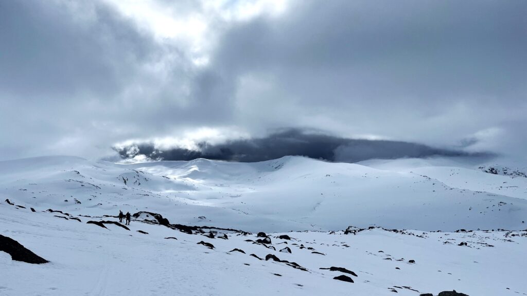
Science in the Snow: the benefits and challenges of collecting data in Australia’s toughest winter conditions
Winter in Australia’s high country can be beautiful and brutal,
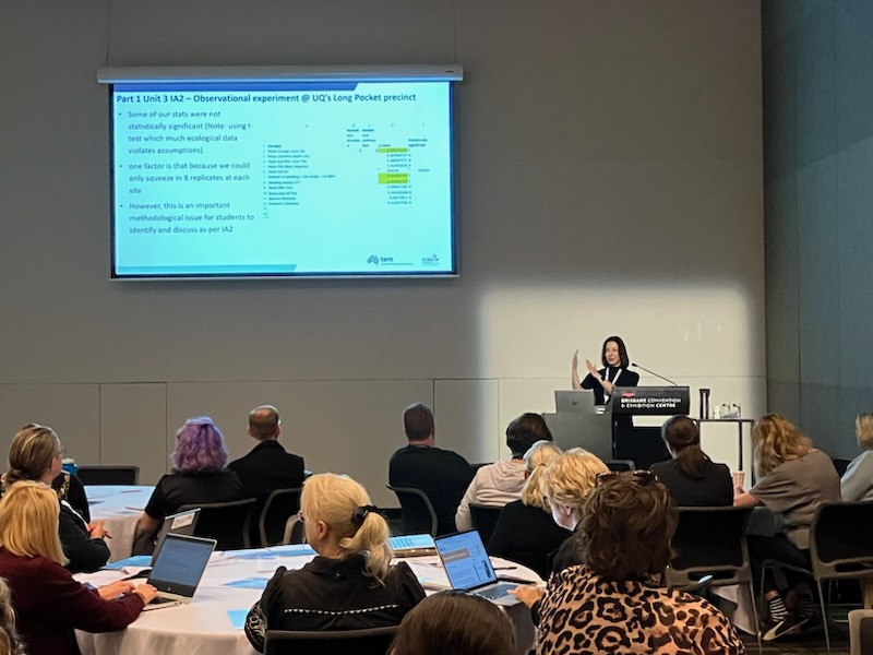
How TERN is working with Australian teachers to inspire the next generation of ecologists
TERN’s Education and Training Manager, Dr Eleanor Velasquez, recently attended
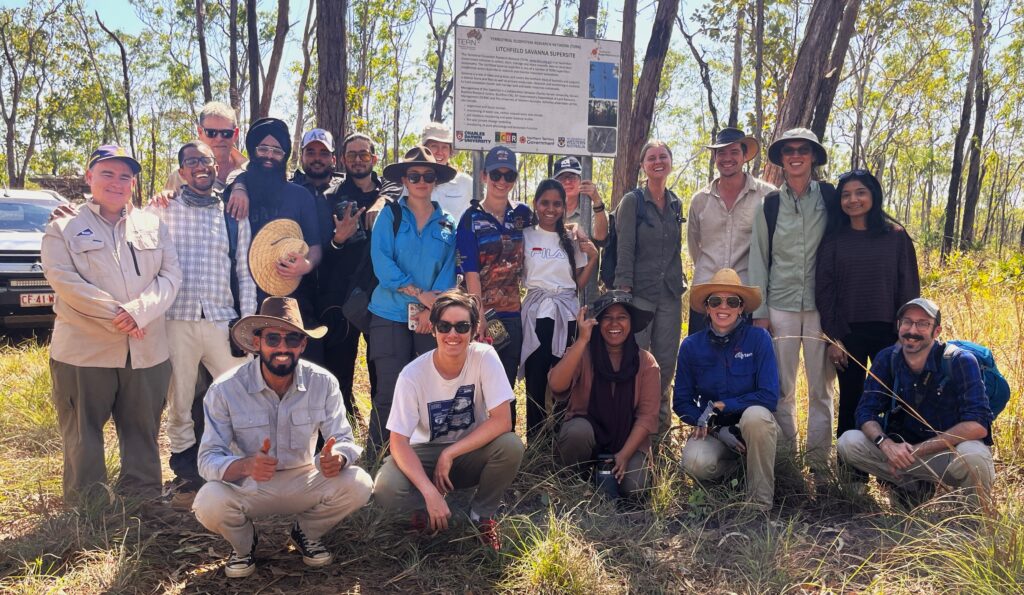
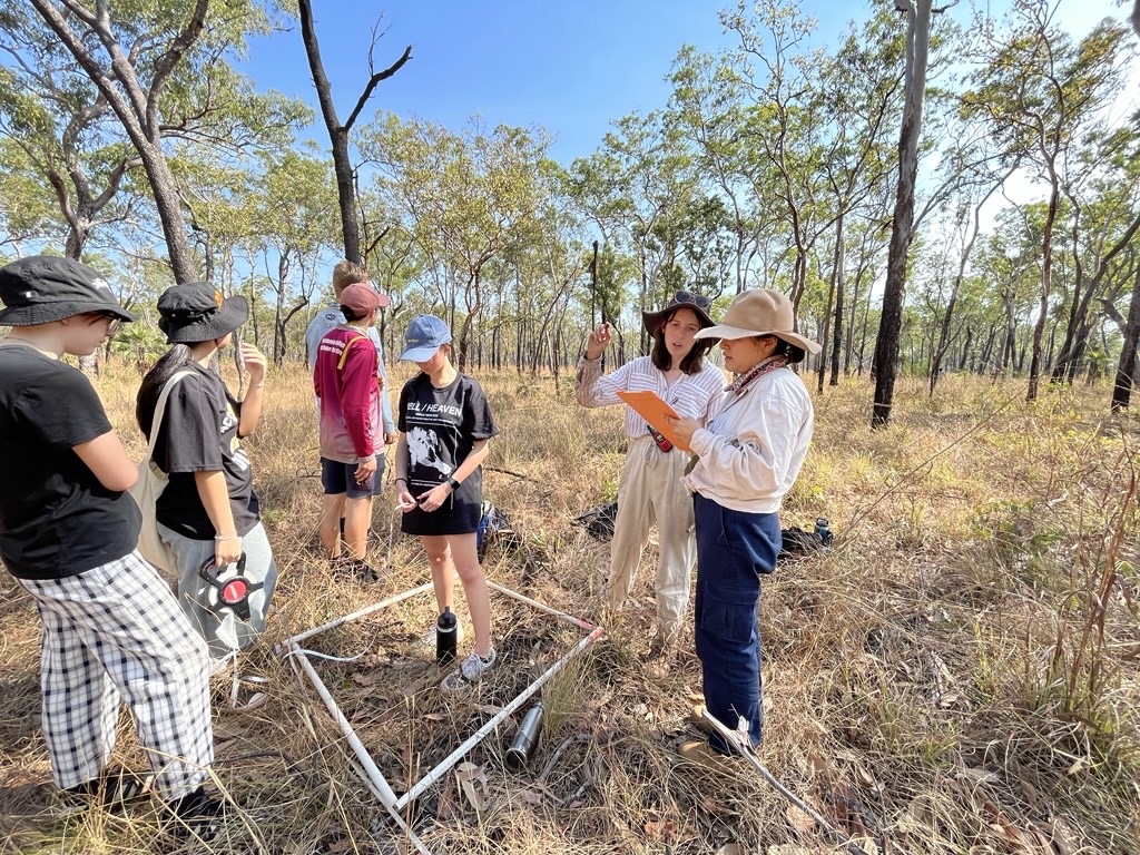
How TERN’s Education Strategy comes alive at the Litchfield Savanna SuperSite
Students from Charles Darwin University’s Bachelor of Environment Science and
Australasian Mangrove and Saltmarsh Network Conference 2026
The Australasian Mangrove and Saltmarsh Network (AMSN) Conference 2026 will bring together researchers, practitioners, policymakers, and community partners from across Australasia and beyond to share knowledge, build collaborations, and explore

2026 Advancing Earth Observation Forum
The Advancing Earth Observation Forum brings together people from across Australia and beyond, to share, learn, connect and collaborate.
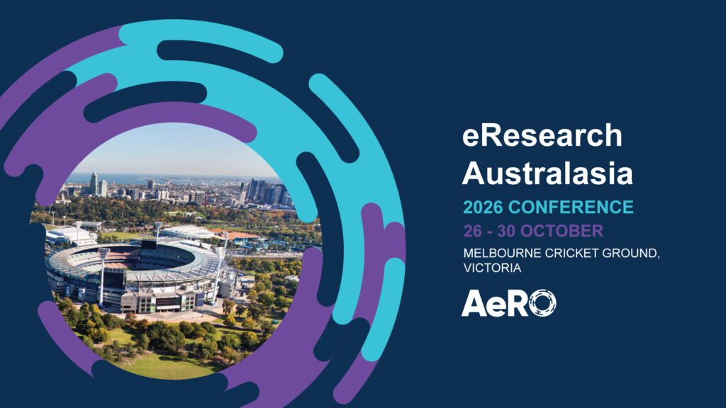
2026 eResearch Australasia Conference
Hosted by Australasian eResearch Organisations (AeRO) Inc., the conference is the leading forum for everyone involved in enabling, supporting and advancing eResearch — from researchers, data specialists and research infrastructure
World Ecoacoustics Congress 2026
The 6th World Ecoacoustics Congress (WEC), taking place in Cairns (Gimuy), Australia, 17th – 20th of August 2026. The WEC happens every 2 years and attracts hundreds of delegates to discuss advances