Plots & Transects
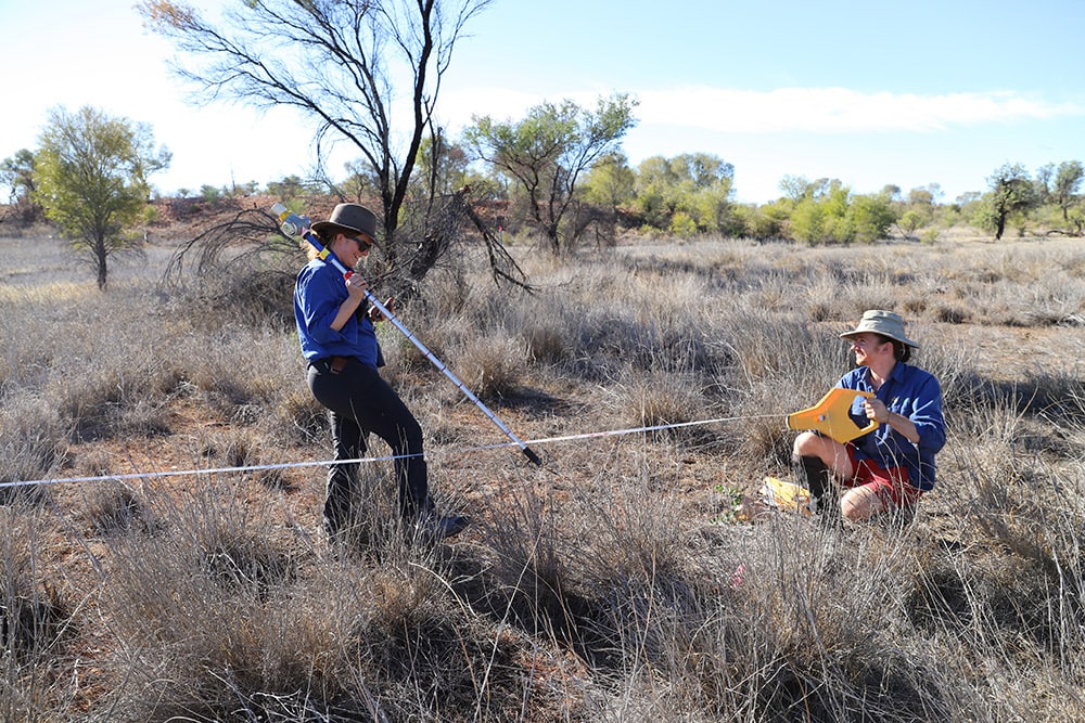
TERN Ecosystem Surveillance undertakes field surveys implementing the AusPlots Survey Protocols across our network of ecosystem monitoring plots and transects. We use standardised methodologies across a 1 hectare plot to collect baseline ecosystem surveillance data.
The data collected by TERN Ecosystem Surveillance are made openly available to the ecosystem science and management community to:
- increase the understanding of the dynamics of plant species and soils
- progress knowledge on distribution, abundance and threats to ecosystems
- increase the knowledge of carbon and nutrient budgets of soils and vegetation
- input into DNA barcoding of Australian vegetation and soil communities
- determine the genetic and phylogenetic diversity and biogeography of continent
- assist in the field validation of remote sensing products
- assist state and federal agencies to meet monitoring and reporting obligations
- create a photographic reference of key Australian bioregions, enhance existing State photo reference libraries.
About Our Plots
AusPlots Rangelands
AusPlots Forests
About Our Transects
Large-scale transects are powerful tools for addressing key ecological knowledge needs. TERN’s network of monitoring transects facilitates the study of ecological structure and processes over major biophysical gradients to document ecological change and adaptation in relation to climate variation across Australia’s major terrestrial biomes.
Our transects program’s primary focus is observations and monitoring of natural and semi-natural terrestrial ecosystem gradients, generating data and products to enable researchers to predict how species and ecosystems will change in the future. Through the network, research outcomes are linked with and inform management, policy settings, planning and monitoring programs.
TERN transect data helps answer the following ecological questions of national significance:
- How do species, communities and ecosystem processes change in space and time, and what are the key processes driving change?
- What is the relative importance of climate as a driver of ecological change?
- Is there predictable variation in ecosystem resilience across bioclimatic gradients, and can environmental thresholds be identified where there are abrupt changes in ecological composition, structure and function?
- What is the potential of species and communities to adapt to a changing climate?
TERN maintains a national network of subcontential transects which travers major biomes, land tenures (including agricultural landscapes and bioclimatic gradients:
- Biodiversity Adaptation Transect Sydney (BATS)
- North Australian Tropical Transect (NATT)
- South-Western Australian Transitional Transect (SWATT)
- Transect for Environmental Monitoring and Decision Making (TREND)
- Australian east coast Drosphilia Transect (EADrosT)
- Box gum east-west transect (BoxEW)
- Wet tropics altitudinal transect (WTAT)