TERN Ecosystem Surveillance & Environmental Monitoring Systems
TERN’s Ecosystem Surveillance platform conducts field surveys and sampling across a national network of plots and transects to provide the environmental monitoring data, samples, advice and terrestrial ecosystem mapping needed for improved monitoring and assessment of Australia’s major ecosystems. These environmental monitoring systems provide data for the ecosystem research platform that helps scientists and land managers better detect and quantify change in vegetation structure and composition, land cover and soil characteristics.
Data, Tools, Services & Equipment
TERN Ecosystem observation delivers a wide range of freely available ‘hard’ and ‘soft’ infrastructure and environmental monitoring systems that are valuable for researchers and land managers, including:
- Standardised published methods in a field survey manual
- Vegetation voucher specimens
- Vegetation genetic and isotope samples
- Soil pit and sub-surface samples
- Soil metagenomics samples
- Vegetation species richness, diversity, abundance and cover
- Vegetation state, spatial heterogeneity and structural complexity
- Soil carbon and nutrient stocks
- Vegetation structure and change based on analysis of series of photo references
- Standardised methods and digital analysis
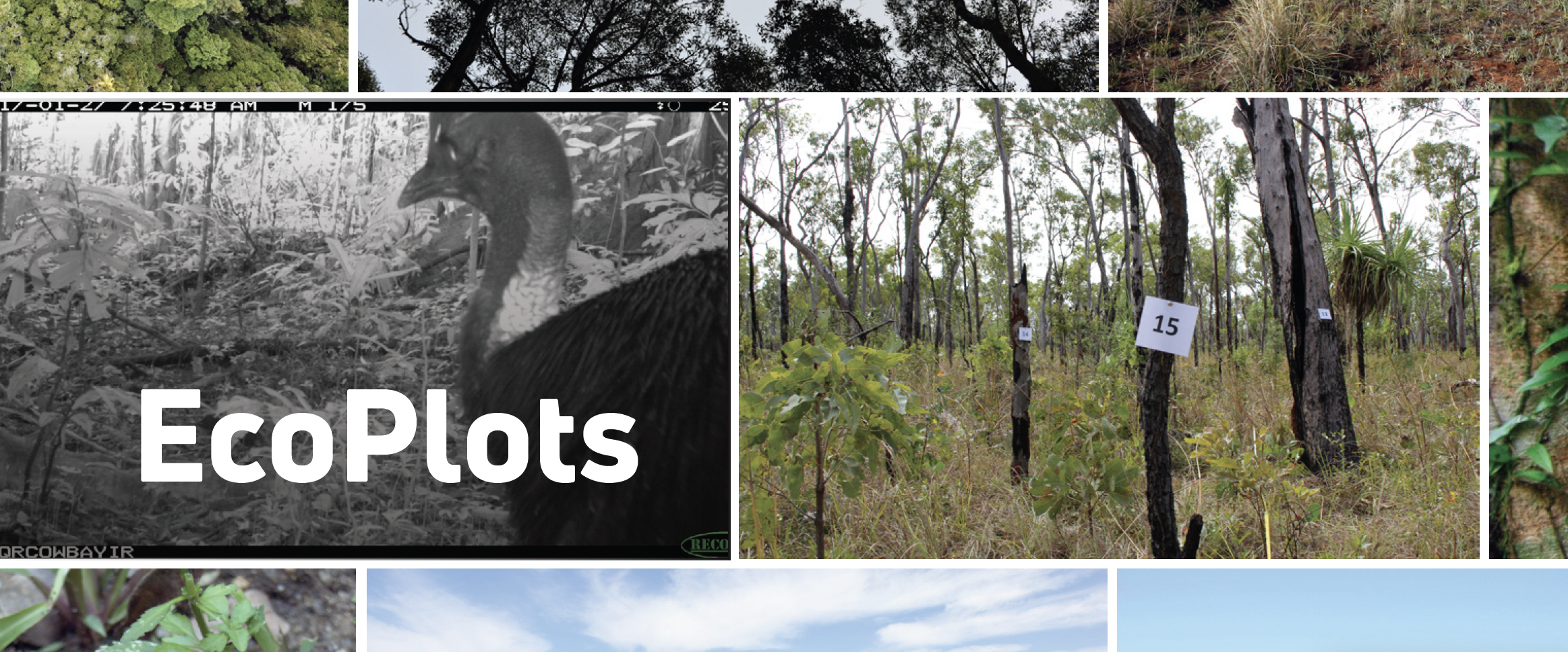
- Image library collection of three complete panoramas from each plot
- Field survey app for standardised collection of environment monitoring data
- Practical hands-on training
- Advice on environmental monitoring and survey techniques for a range of purposes
TERN EcoPlots provided access to plot-based ecology data from multiple sources, including TERN, across different jurisdictions. Users can search for Australia’s plot-based ecology survey data for ecosystem studies by data sources, feature types, parameters and temporal extent.
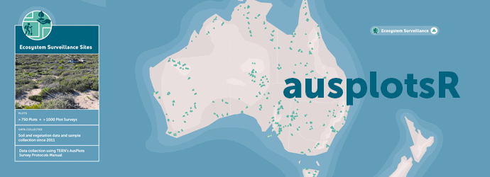
TERN’s ausplotsR is an R Studio package for extracting, preparing, visualising and analysing TERN’s environmental research and monitoring ecosystem observation data. Users can use the package to directly access plot-based data on vegetation and soils across Australia, with simple function calls to extract the data and merge them into species occurrence matrices for analysis or to calculate things like basal area and fractional cover.
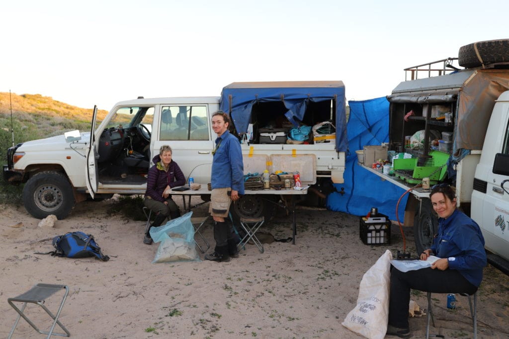
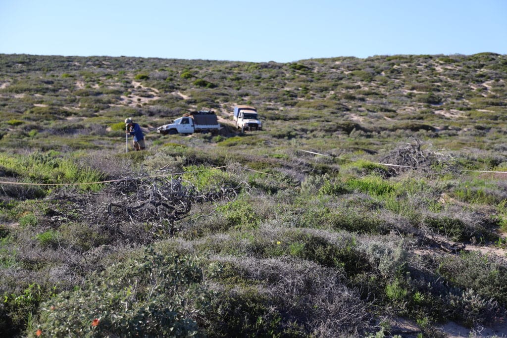
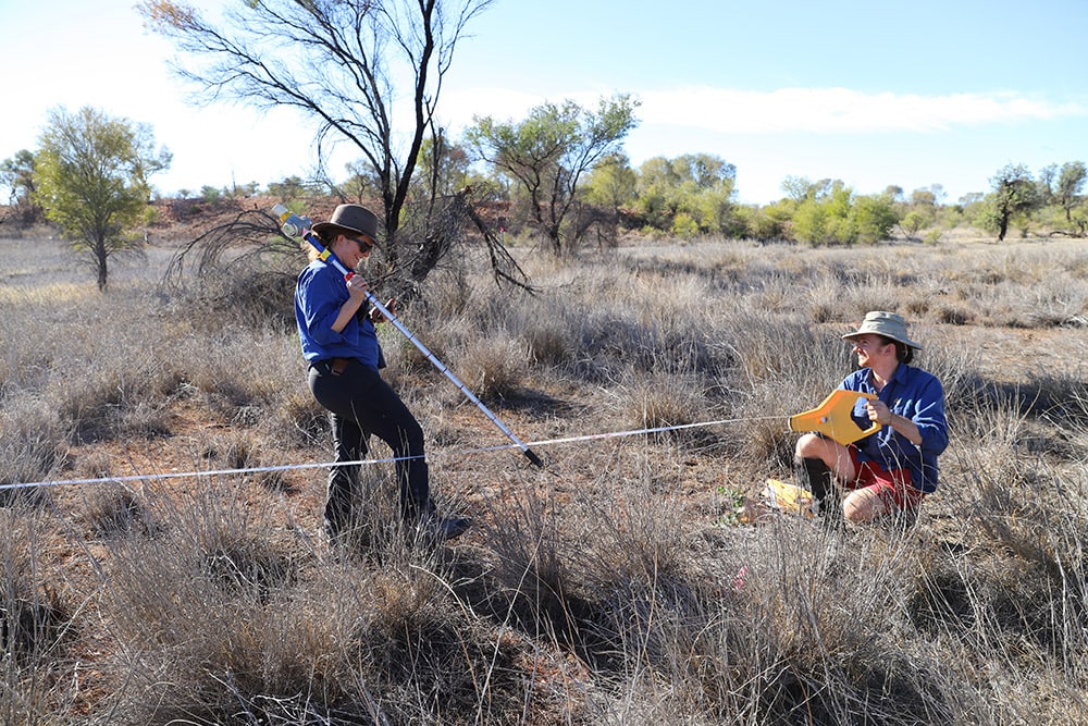
TERN Ecosystem Surveillance undertakes field surveys implementing the AusPlots Survey Protocols across a national network of ecosystem observation and monitoring plots and transects. Standardised methodologies are across a 1 hectare plot to collect baseline environmental monitoring data.
The ecosystem research collected in the TERN land observatory are made openly available to the ecosystem studies, science and management community to:
- Increase the understanding of the dynamics of plant species and soils
- Progress knowledge on distribution, abundance and threats to ecosystems
- Increase the knowledge of carbon and nutrient budgets of soils and vegetation
- Input into DNA barcoding of Australian vegetation and soil communities
- Determine the genetic and phylogenetic diversity and biogeography of the continent
- Assist in the field validation of remote sensing products
- Assist state and federal agencies to meet monitoring and reporting obligations
- Create a photographic reference of key Australian bioregions, enhance existing State photo reference libraries.
About Our Plots
Ecosystem Surveillance is a plot-based environmental monitoring program, undertaking baseline assessments of ecosystems across the country. The aim of this ecosystem observation program is to establish and maintain a national network of environmental sensors, plots and transects that enable consistent ecological assessment and ongoing monitoring.
Rangelands
Analysis of gaps in long-term monitoring in Australia showed arid and semi-arid regions of Australia as under-sampled, particularly Acacia woodlands, Hummock grasslands and Chenopod shrublands. The Ecosystem Surveillance rangelands program was developed to provide information about some of these widespread and yet under-studied environments in Australia.
Whilst lack of information in the rangelands remains a problem, TERN has been remedying the situation by installing plot-based infrastructure and environmental monitoring systems & sensors that are free for all to use and making data openly accessible. Hundreds of sites have been established across the Australian rangelands, with quality-controlled vegetation and soils data and samples collected according to standardised methods, which have been developed with advice from the research community.
Forests
The Ecosystem Surveillance forests program was developed to address information gaps about tall eucalypt forests found in the moister areas of Australia. Whilst these areas had more existing information available compared to rangelands areas, this information had been collected in different ways across the continent. In many locations, data was collected by forestry agencies for production purposes and so missed some important ecological information. Ecosystem Surveillance now completes environment monitoring and research using a standardised method from all areas where Tall Eucalypt forests occur in Australia.
About Our Transects
Large-scale transects are powerful tools for addressing key ecological knowledge needs. TERN’s network of environmental monitoring systems facilitates the study of ecological structure and processes over major biophysical gradients to document ecological change and adaptation in relation to climate variation across Australia’s major terrestrial biomes.
Our transects program’s primary focus is environmental monitoring and observations of natural and semi-natural terrestrial ecosystem gradients, generating data and products to enable researchers to predict how species and ecosystems will change in the future. Through the ecosystems studies network, research outcomes are linked with and inform management, policy settings, planning and environmental monitoring systems and programs.
TERN transect data help answer the following ecological questions of national significance:
- How do species, communities and ecosystem processes change in space and time, and what are the key processes driving change?
- What is the relative importance of climate as a driver of ecological change?
- Is there predictable variation in ecosystem resilience across bioclimatic gradients, and can environmental thresholds be identified where there are abrupt changes in ecological composition, structure and function?
- What is the potential of species and communities to adapt to a changing climate?
TERN maintains a national network of subcontential transects which traverse major biomes, land tenures (including agricultural landscapes and bioclimatic gradients:
- Biodiversity Adaptation Transect Sydney (BATS)
- North Australian Tropical Transect (NATT)
- South-Western Australian Transitional Transect (SWATT)
- Transect for Environmental Monitoring and Decision Making (TREND)
- Australian east coast Drosphilia Transect (EADrosT)
- Box gum east-west transect (BoxEW)
- Wet tropics altitudinal transect (WTAT)
Management

Assoc Prof Ben Sparrow
Ben considers himself privileged to lead such a multi-disciplinary and passionate team. He is focused on enabling the delivery of the best ecosystem science infrastructure available to meet Australia’s environmental surveillance monitoring needs.