TERN is delighted to be working alongside other research infrastructure co-investors in the Australian Scalable Drone Cloud (ASDC), one of 10 three-year projects supported by the Australian Research Data Commons (ARDC) 2019 Platforms program.
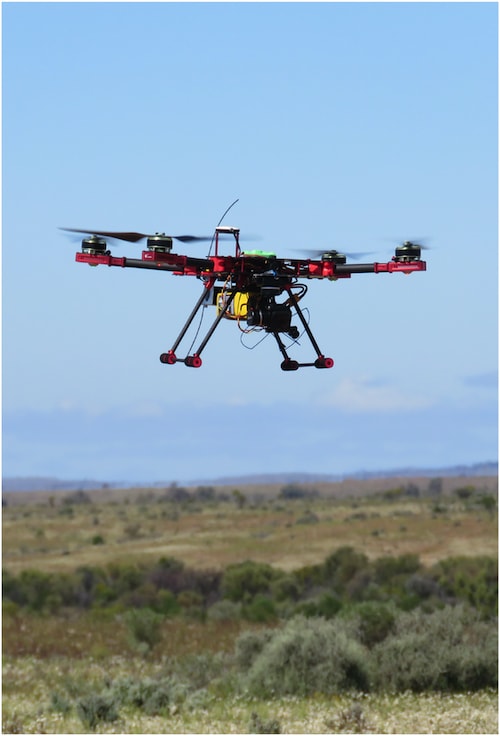
TERN’s national terrestrial ecosystem observation activities include detecting landscape-scale change with drones. Over the past few years, drones have become increasingly available beyond TERN in our related ecosystem science community where they are providing new avenues and opportunities for conducting and supporting environmental research.
With an increasing reliance on drones at TERN and by our researcher and public communities, TERN has seen an urgent need to fast-track drone analytics so that we can coordinate our ecosystem-focused communities.
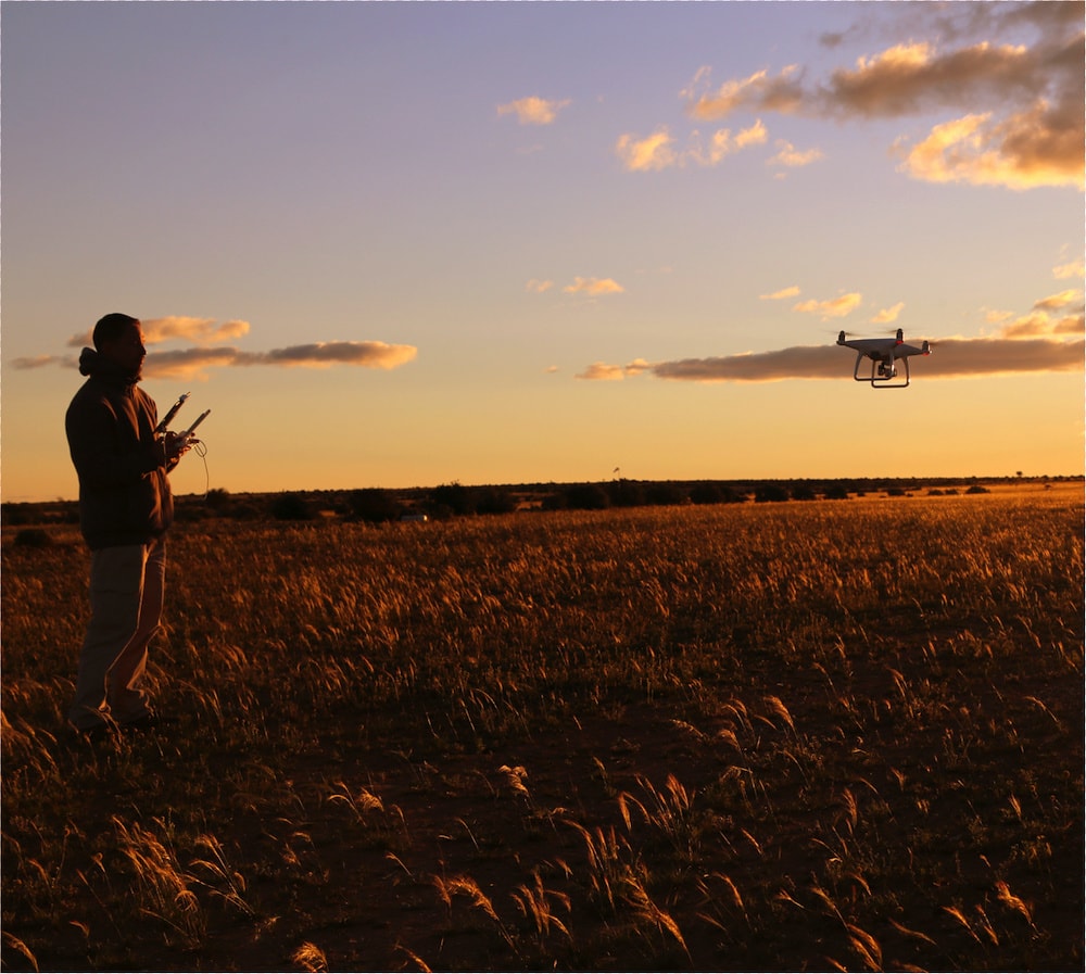
Australia’s first integrated UAV, aircraft and ground field campaign was held in September 2016 at the University of New South Wales’ Fowlers Gap Research Station with support from TERN’s research infrastructure and collaborative networks (Credit, above and top: Yincai Zhou)
Enhancing collaborations to strengthen services
The ASDC capability is a timely addition to our research infrastructure resources, especially as it unites and establishes a national best practice for both experimental and scalable drone data analytics. TERN’s contribution to the project will allow the ASDC initiative to scale out cloud-native drone capabilities.
This current project also adds opportunities for collaboration among several NCRIS projects and research organisations, enhancing partnerships and strengthening networks. Indeed, TERN feels very privileged to partner with two other NCRIS capability areas (Australian Plant Phenomics Facility and AuScope), a university (via the Monash Drones Discovery Platform), and a research agency (CSIRO) in developing the ecosystem of best practice for this relatively new technological disruption.
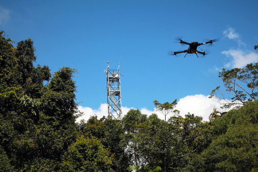
Data capture using a drone at TERN’s Robson Creek Rainforest SuperSite in Far North Queensland (Credit: Kim Calders)
Manage and analyse drone data in the cloud
Established in early 2020, the ASDC aims to build a cloud-native platform to manage and analyse drone-collected data. It plans to do this by establishing best-practices in data management based on FAIR data principles and providing cloud-based analytical and computation capabilities.
Establishing a national ecosystem for drone data management will require the integration of sensing capabilities with easy-to-use storage, processing, visualisation and data analysis tools (including computer vision and deep learning techniques).
TERN’s role in the project is to contribute towards the development of a common data vocabulary that helps users share information. TERN will also work with the Australian Plant Phenomics Facility in the co-design and development of scalable data collecting and processing capabilities and drive towards the adoption of common metadata.
Aiding advanced ecosystem science and management
Drones provide remote-sensing capabilities that address the critical scale-gap between ground and satellite-based observations. They offer a competitive advantage for researchers by delivering near real-time and societally-relevant information—something that TERN has embraced since the start via our remote-sensing focused data collection capabilities.
Drone data, including from TERN and our partners, have a transformative impact on agriculture and environmental monitoring and management.
The ASDC will have a major impact on the success of drone technology in research and development across local, state and national levels. In addition to enabling more precise data collection, infrastructure improvements, such as cloud-based processing and analytical capabilities (e.g. machine learning and Artificial Intelligence), are set to provide near real-time decision support.
Moreover, the ability to standardise 3D geospatial data gathering, processing and analysis via cloud-native technology will significantly improve the accessibility, reusability and interoperability of drone data for inter-disciplinary application across industry, research and public sectors.
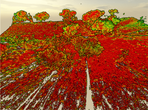
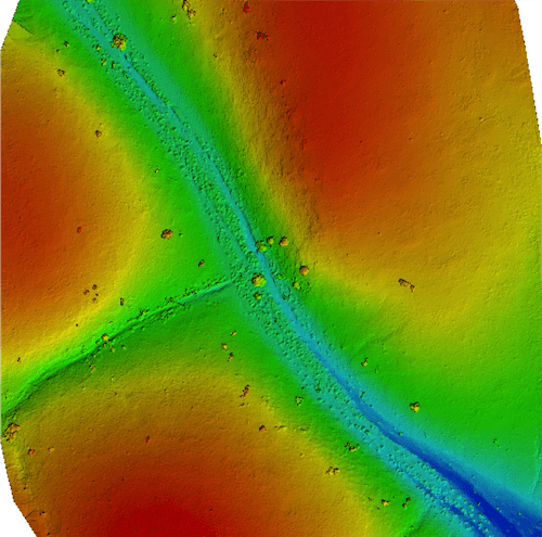
Drone-collected images and data capture the 3D structure of vegetation and multi-spectral images taken with specific sensors can be used to remotely measure plant vitality (credit: Terra Luma)
Help us co-design the platform
TERN would like to know more about the research community’s needs with regards to drone data management.
If you would like the ASDC project to consider any specific needs (e.g. storage, processing and analytical capabilities), please feel free to contact us.
The incorporation of your needs in the co-design of the platform is a priority and we look forward to discussing them with you over the coming weeks.