
TERN and DCCEEW are developing a national metadata catalogue to help Australia’s Earth observation community find the vegetation field plot, drone, and airborne datasets needed to develop and assess environmental remote sensing products.
By Dr W. Boone Law
Australia’s first centralised Calibration and Validation (Cal/Val) Metadata Catalogue for remote sensing is being developed by TERN through a national initiative funded by the Department of Climate Change, Energy, the Environment and Water (DCCEEW).
Due for release in June 2027, the catalogue will help researchers, government agencies, industry, and other users of Earth observation products find existing Cal/Val resources and connect with the organisations that manage the datasets.
Australia already holds a wealth of Cal/Val data, built up through years of research, environmental monitoring, and field programs. These datasets underpin the development, assessment, and validation of remote sensing products, yet many remain scattered across organisations, repositories, and project archives. While some Cal/Val resources are well known within individual research groups or agencies, they often remain difficult for the broader Earth observation community to discover.
The new catalogue aims to change that.
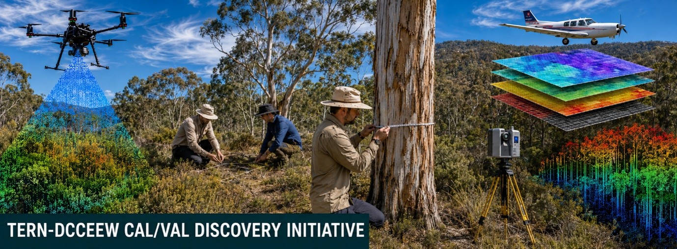
TERN is bringing together metadata from both established sources and lesser-known collections, with a strong focus on vegetation Cal/Val resources, including field plots, drone surveys, and airborne observations.
Rather than storing the datasets themselves, the catalogue will provide searchable metadata describing what data exist, where they were collected, who manages them, and how they may be accessed.
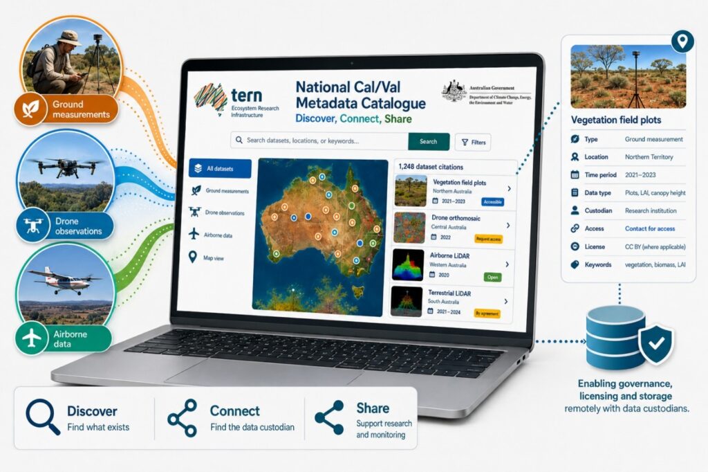
The National Cal/Val Metadata Catalogue will help users discover vegetation field plots, drone surveys, and airborne datasets through a single searchable platform.
Vegetation Cal/Val resources are critical to developing and assessing remote sensing products such as fractional cover, leaf area index (LAI), above-ground biomass, and canopy height. These products increasingly support environmental monitoring, land management, and carbon farming across Australia. Their reliability depends, in part, on access to high-quality field measurements, drone, and airborne observations.
Associate Professor Ben Sparrow, Director of TERN’s Ecosystem Surveillance, said contributing to the catalogue would increase the visibility of organisations collecting valuable environmental data.
“Participation provides an opportunity for organisations to showcase their data collection capabilities to a national audience of government, research, and industry personnel” Associate Professor Sparrow said.
“Making these resources more visible can also create new opportunities for collaboration between metadata contributors and catalogue users.”
Improving awareness of existing datasets can also reduce duplicated effort and increase the value of investments already made in data collection.
TERN Cal/Val Officer Dr W. Boone Law said the initiative is focused on improving discovery rather than collecting or taking ownership of datasets.
“Our aim is to make Australia’s existing vegetation Cal/Val resources easier to find and to connect users directly with the organisations that manage the data,” Dr Law said.
“A dataset collected for one project may have value for many others, but that opportunity can easily be missed if the wider community does not know the resource exists.”
Data custodians will retain control over their resources. Ownership, storage, licensing, and access arrangements remain with the original organisations. Sharing metadata does not require the underlying dataset to be made openly available, but it helps potential users and collaborators connect directly with those who manage the data.
TERN is now inviting individuals, organisations, and data custodians to register their interest and contribute metadata about existing Cal/Val resources.
The catalogue is being built for Australia’s Earth observation community, and its value will depend on the breadth of resources it contains. Every dataset, whether from a long-term vegetation monitoring program, a drone LiDAR survey, or an airborne hyperspectral campaign, has the potential to support future remote sensing applications if people know it exists.
Australia has already invested heavily in collecting high-quality environmental field data. The National Cal/Val Metadata Catalogue is about making those investments easier to find, simpler to connect, and more useful to the wider community.
If you hold vegetation Cal/Val data, TERN would like to hear from you.
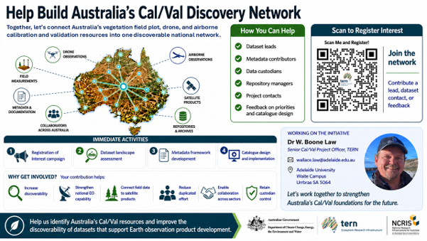
TERN invites organisations and data custodians to contribute metadata and help build Australia’s national Cal/Val discovery network.
AI has been used for image creation