Ecological Monitoring System Australia (EMSA)
The Ecological Monitoring System Australia (EMSA) has been developed by TERN in collaboration with the Australian Government Department of Climate Change, Energy, the Environment and Water (DCCEEW) to support the Australian Government Natural Resource Management (NRM) investment programs.
EMSA ecological field survey modules and data systems are the result of a partnership between TERN and DCCEEW forged over multiple years.
EMSA:
- Enables natural resource managers and ecologists to collect, manage and deliver quality, repeatable data for decision-making.
- Established best practice monitoring protocols targeted to specific project needs.
- Improves the understanding and measurement of the effectiveness of NRM actions.
- Strengthens the evidence used to assess project outcomes.
- Facilitates better access to and re-use of ecological survey data for adaptive management, research and policy.
Current and developing components of EMSA:
- 24 ecological field survey modules, with the intention of identifying gaps and potentially developing additional modules in the future
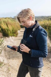
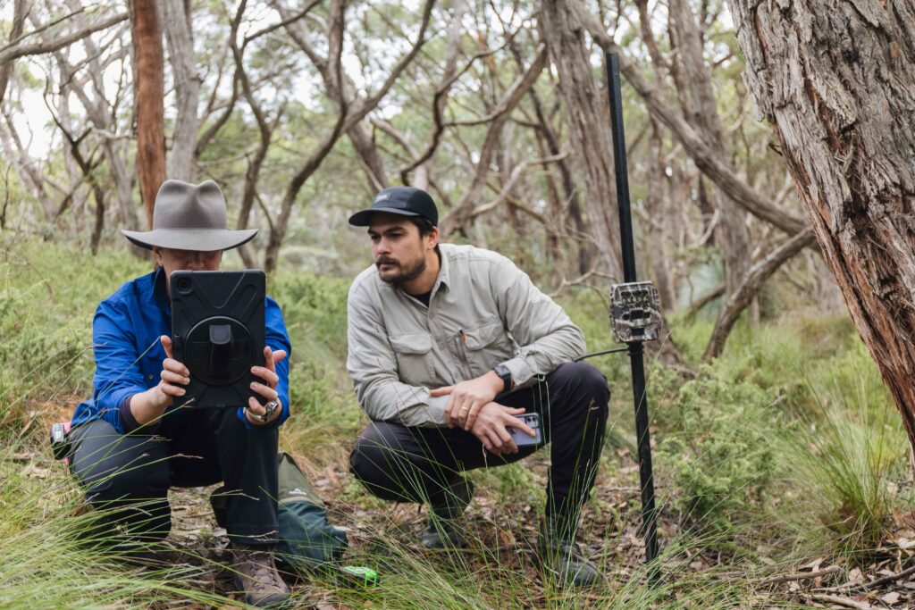
- Field data collection app, called Monitor, a progressive web app that enables data collection in the field using mobile devices
- Training materials and in-person training programs
- Helpdesk for technical and ecological support
- Uses standardised vocabularies, including the new Australian Biodiversity Information Standards (ABIS)
- Designed for data delivery to the DCCEEW Biodiversity Data Repository (BDR).
Strengthening NRM monitoring
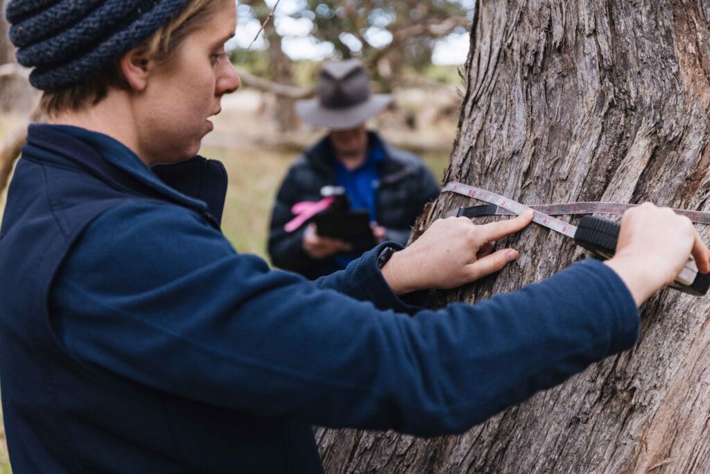
The EMSA protocols provide clear and proven methods (built upon previous method/s where appropriate) to accurately measure environmental change for many variables of interest in Australian terrestrial environments. EMSA is designed to address limitations in previous NRM programs that made quantification of environmental change difficult. In the past, environmental occurrences were measured or estimated using disparate and often incompatible methods, particularly over a range of geographic scales, and inefficiencies in data provision and analysis were common. The EMSA protocols are supported by tools to collect and deliver data to the Australian Government’s Biodiversity Data Repository, and the data collected will inform various management, policy and research outcomes.
Ecological Field Monitoring Protocols Manual
The Ecological Field Monitoring Protocols Manual contains 24 EMSA modules. Some modules interact and build on each other, while others are stand alone. Project managers can use the supporting materials (available on emsa.tern.org.au) to identify the monitoring needs of their project, and determine which combination of modules suits their requirements. In addition, each module contains multiple protocols the user can choose from to suit specific project needs and timelines.
The protocols build on previous work by numerous ecologists throughout the country and have been refined with the help of Australia’s NRM community. Many of the methods presented here will be familiar to ecologists. The protocols provide users with a clear set of instructions to measure and monitor most Australian ecosystems quantitatively and repeatably. This will enable the reliable quantification of environmental change.
Field data collection app
The primary user base for ‘Monitor’ is NRM Regional Delivery Partners. Over time, we hope to expand that user base. However, at the moment our priority is enabling access for NRM agencies.
Contact the EMSA team at TERN