Welcome to the first in a new TERN eNewsletter feature series showcasing Australian and international ecosystem science research centres and laboratories. We’re kicking off with a University of Queensland research centre that’s using Earth Observation data to better understand where, how and why environments are changing and what it means for the planet.
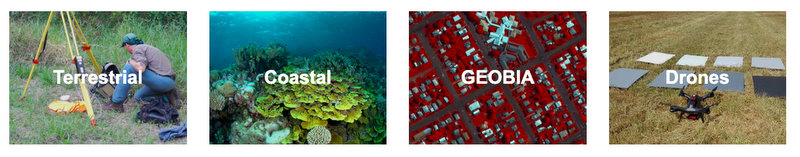
The UQ Remote Sensing Research Centre measures, maps and monitors biophysical properties in terrestrial, atmospheric and aquatic environments using earth observation data collected from ground, submarine, airborne and satellite sensors, together with field data and various processing algorithms and programming codes.
The Remote Sensing Research Centre and its research resources are focussed on delivering topical, useable research outputs and datasets to enable more informed environmental management decision making. The centre’s website states:
“Our research provides private and public sector organisations with the techniques to turn satellite and airborne images and field survey data into meaningful maps or information for one or many points in time. These results can then be used to better understand where, how and why environments are changing, and to separate natural changes from those produced by humans.”
A leader in EO collaboration and outreach
“We work very closely with other scientists and managers to ensure that our research output can be used to better understand and manage the earth’s environments and resources,” says former TERN Director Professor Stuart Phinn, who established the centre in 1999 and co-directs it with Dr Chris Roelfsema.
“In fact, one of our three main areas of research is communication, sharing and application, which focuses on techniques for the effective use of remote sensing information across science, industry and government.”
“Key to this is our partnership with the Joint Remote Sensing Research Program, which combines our research with that of other remote sensing groups to support the Queensland, New South Wales and Victorian state governments,” says Stuart.
The centre also coordinates and leads Earth Observation (EO) activities in Australia and internationally to develop and ensure public and private, Australian and international, access to EO data and analysis tools.
Opportunities and experiences at the leading edge of earth-observation sciences
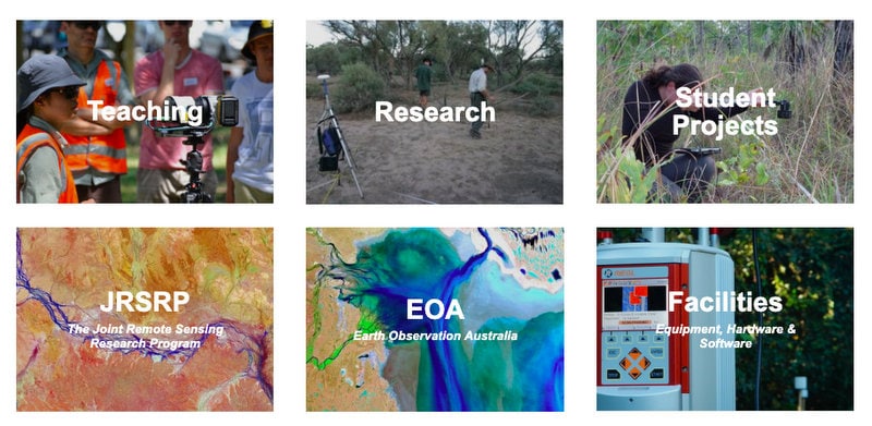
The translation of research into policy and management continues beyond the centre’s research staff and extends into its undergraduate and postgraduate teaching and higher degree research.
“We partner research students with scientific, industry or government collaborators and enable career path opportunities and experiences at the leading edge of earth-observation sciences,” says Dr Chris Roelfsema.
“And our undergraduate and postgraduate courses provide foundation knowledge and skills in biophysical remote sensing techniques, such as image acquisition, processing, analysis and visualisation, to equip students with the necessary skills for a career in a wide range of sectors and professions.”
The centre currently has 16 postgraduate or higher degree research students, and a cohort of more than 70 graduated honours, masters or doctoral students.
- The Remote Sensing Research Centre is located at the School of Earth and Environmental Sciences at The University of Queensland and was established in 1999 by Professor Stuart Phinn and is directed by Stuart and Dr Chris Roelfsema.