News

Centre Spotlight: Spatial Sciences Group

This month we meet a group of ecosystem scientists based at the University of Adelaide who are using GIS and remote sensing techniques to provide environmental and agricultural managers with tailored and accurate decision-making information and tools.

The Spatial Sciences Group is based at the University of Adelaide School of Biological Sciences and is led by Professor Megan LewisDr Ken Clarke and Assoc Prof Bertram Ostendorf. The group works on a wide variety of ecosystem science issues including seagrass mapping, soil erosion risk management, bushfire detection and mapping, wetland inundation regimes, arid river vegetation dynamics, coastal marine productivity, ecosystem services mapping and valuation and much more.

TERN newsletter readers may remember the group’s landmark 2017 TERN-supported work in producing the most accurate and globally-consistent map of Australia’s ecosystem research and collaborating with the South Australian Government to improve SA fire mapping.

Australia's ecological characteristics mapped using globally consistent methods, capturing the major factors driving ecosystem formation—macroclimate (above), lithology and landform—and vegetation structure

Dr Ken Clarke says that the group’s staff is a mix of academics, researchers and PhDs who specialise in a range of remote sensing applications, teaching courses in GIS, spatial information and land evaluation and Earth Observation.

“We work with a range of satellite and airborne data and spatial analyses to understand how a landscape has changed over time and provide the imagery, maps or data required to manage small or large environmental problems.

We strive to understand the system-managers’ needs, and extract information relevant to their management needs.”

Claire Fisk is a third year PhD student at the Spatial Sciences Group who’s using satellite imagery and field spectral measurements to improve land cover mapping in Australia’s arid regions.

“Farmers, natural resource managers and scientists all need high-quality ground-cover data for decision making.

My work will improve how these products are validated and ensure the quality of maps, which gives users confidence in the data they are basing their research and decisions on.”

PhD student Claire Fisk collecting hyperspectral measurements that will be used to improve the calibration of satellite products on vegetation cover
Monitoring of the condition of Australia’s rangelands

The group is currently embarking on an exciting new project which utilises their considerable expertise in rangelands monitoring to develop practical methodologies and rationale that will benefit all rangelands users and managers.

The project will review the needs and capabilities for the monitoring of the condition of Australia’s rangelands, which make up more than 80% of the continent, comprising 52 bioregions and diverse plant and animal communities.

The problem that the work seeks to address lies in the wide range of conceptions of ‘rangeland condition’—generally a result of differing management perspectives. An animal producer is likely to assess rangeland condition on its stock carrying capacity, current biomass, ability to produce new biomass, or ability to convert rainfall into biomass. A conservationist would see condition in a more temporal and seasonal context, as differences in vegetation productivity or biodiversity from expected (eg, comparing current-year climatic conditions to long-term records of past conditions and variability).

But few of these aspects of rangeland condition are currently assessed at spatially meaningful scales or with repeatable quantitative methods. This review will:

The aim is to make recommendations on appropriateness of methods for satisfying differing management perspectives, and outline the work required to realise these methods.

Identifying the effects of grazing (above) from the underlying extreme variations of vegetation cover in space and time is a significant challenge for rangeland pastoralists and land managers

Ken is enthused about the useful role remote sensing and spatial science will play in improving our understanding and stewardship of Australian rangelands.

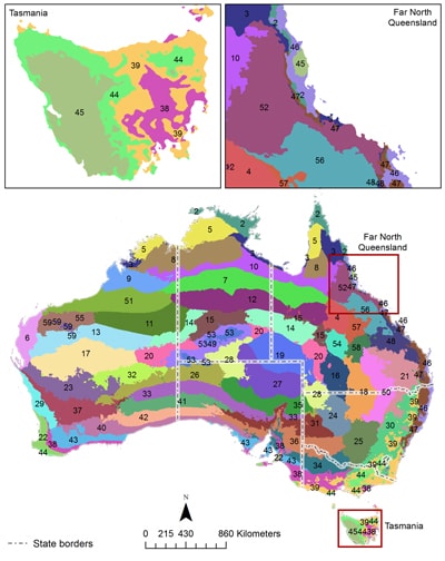
“There is no consistent policy, rationale or methodology for rangelands management or monitoring across our states, however some states perform much better in this area!

We’ll build a detailed picture of current practice to better understand the approaches used and the decisions made based on desired outcomes and time frames.

We will be working with TERN, State agencies and groups like the Joint Remote Sensing Research Program, which is doing some really good work for Queensland, New South Wales and Victoria.

In South Australia, we are working with Primary Industries and Regions SA in preparation for a new Pastoral Lease Assessment Act that is currently being drafted. The Australian Institute for Machine Learning will also play a part in this project.”

We look forward to hearing more about this project as it progresses.

If you’d like to read more from the Spatial Sciences Group, they have a Spatial Points website created to store the collective GIS and remote sensing solutions of the group, particularly small or large image processing, spatial, or related coding problems. It also has people profiles and tips for surviving a PhD!

Long-term mean soil exposure across the SA Arid Lands Natural Resources Management Region, determined by the Spatial Sciences Groups using TERN’s fractional cover remote sensing products. The study provided insight into two key aspects of landscape function across the region: the landscape scale pattern in timing and magnitude of net primary production and patterns and trends in regional soil exposure, as an indicator of landscape condition. (From Clarke et al, 2014)

Share Article