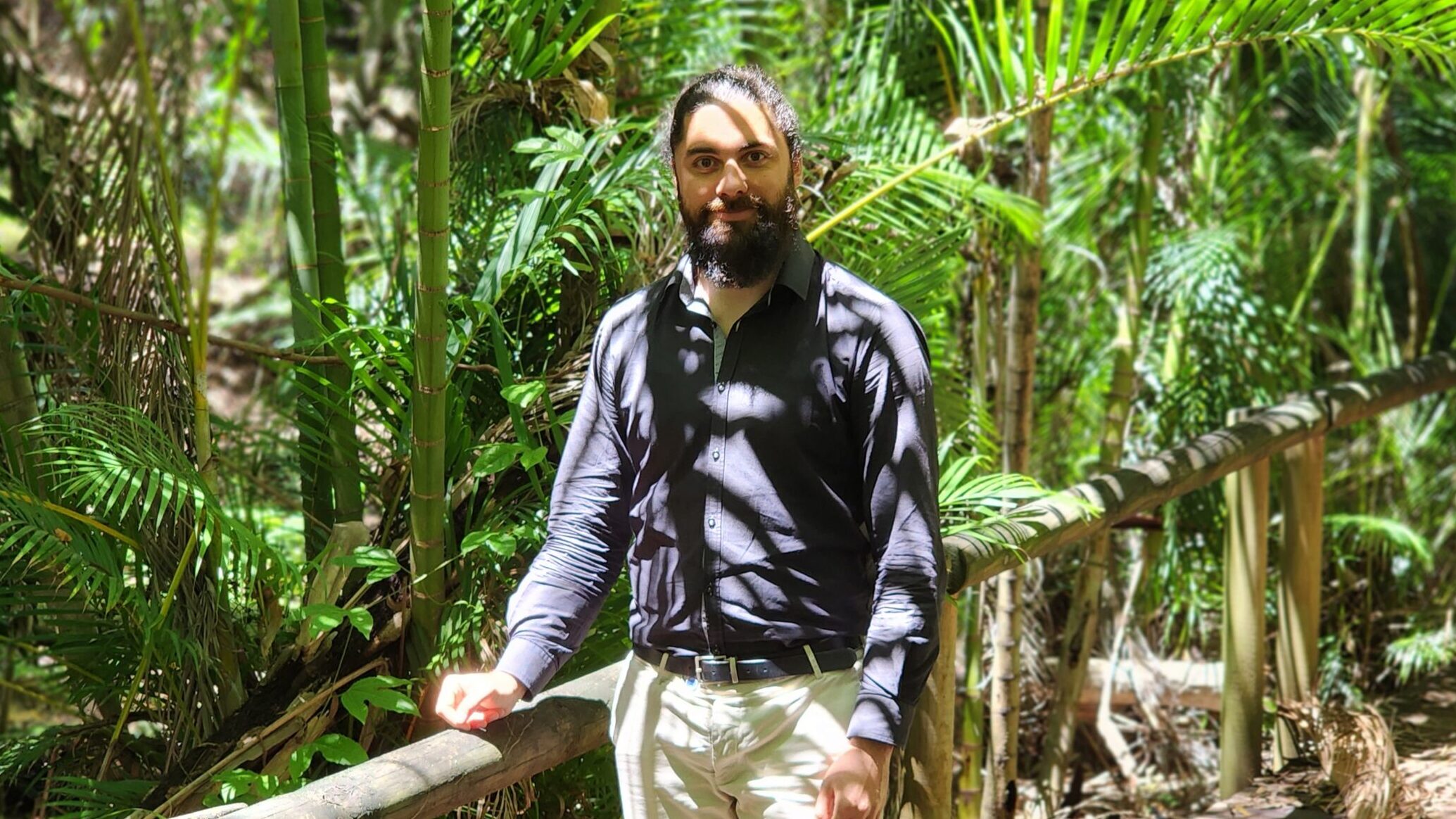
Meet Dr Sebastien Chognard, a data scientist collaborating with TERN this year who is passionate about using remote sensing and citizen science to protect and restore the environment. Learn how his mobile app, EarthTrack, is helping to map and monitor landscapes from space, and how he plans to collaborate with TERN to scale up his project across Australia.
Sebastien Chognard is a Data Scientist at the University of Geneva, where he works on developing and applying remote sensing techniques to monitor and manage the environment. He has a background in environmental science, having graduated in France with a specialisation on remote sensing, as well as a completing a PhD and post-doc experience as a research assistant at the University of Geneva (Switzerland) and the University of Aberystwyth (UK) for various projects related to nature conservation and restoration.
“What interested me about research is using everything, tools, knowledge to do something for the environment, for people. Putting everything you can into the service of people and nature. That's why I'm very interested in citizen science and creating that link between citizens and research.”
Sebastien Chognard
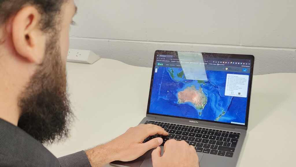
One of his current projects is a mobile app called EarthTrack. EarthTrack has been developed to facilitate the routine collection of land cover, land cover change and environmental variables to support routine and continuous characterisation, mapping and monitoring of landscapes from Earth Observation data. Sebastien even wrote his PhD at Aberystwyth University about how to use the EarthTrack mobile app and citizen scientists, to reduce the involvement of researchers and experts into the validation of land cover and land cover change maps.
Sebastien hopes that by collaborating with TERN on the EarthTrack app, he can involve citizen scientists, engineers, and other stakeholders in this project, and to scale it up to cover a large geographic area, such as Australia.
“What excites me the most about the prospect of working with TERN on this project, is really to use the mobile app we developed on a big country or big continent like Australia, with potentially citizen scientists, and maybe engineers. Not only expert researchers, not only government people, but really citizen scientists. It would be exciting to see how you can display this kind of structure at a big scale.”
The EarthTrack Mangroves component of the app has been developed to support the validation of the global mangrove maps generated through the Global Mangrove Watch and has been supported by TERN, the European Regional Development Fund, Geoscience Australia and many other organisations around the world.
