Flux and satellite data collected and delivered by TERN infrastructure has been used to monitor the greening and browning of Australia’s vegetation and infer its very significant impact on the nation’s carbon budget.
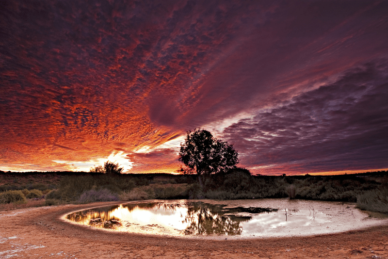 |
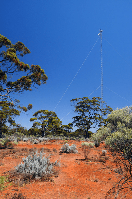
| A international team from UTS and NASA has used satellite imagery and ground observations collected and made openly available by TERN AusCover and TERN OzFlux infrastructure (OzFlux tower below) to show that the record-breaking green boom of 2011 of central Australia has finished and drought conditions have returned (images courtesy of Aaron Greenville, above, and Suzanne Long, below) |
 |
Science can’t prevent extreme events. But good ecosystem science—underpinned by collaborative research infrastructure and critical data such as that being delivered through TERN—is a demonstrably cost-effective way to increase our understanding of the complexities of their impacts, and therefore better inform preparedness and adaptation by communities, industries and management agencies.
This summer our monthly newsletters will feature an impressive range of examples of Australian and international scientists and research networks using TERN’s data and infrastructure to address problems associated with droughts, fires, cyclones, and floods.
Among them are Dr Xuanlong Ma and his colleagues from the University of Technology Sydney and NASA’s Goddard Earth Science Division. This international UTS/NASA team has used satellite imagery and ground observations from TERN AusCover and TERN OzFlux to show that the record-breaking green boom of 2011 in the savannas and grasslands of central Australia has finished and drought conditions have returned.
Australia has a naturally variable climate and this finding was no surprise for the researchers, so why does it matter? Well, put simply, plants absorb less carbon dioxide during dry periods because the process costs water, so a reduction in the absorption of CO2 due to drought can seriously alter Australia’s carbon budget.
In fact, Xuanlong and his team reported that “Each year, land plants absorb the equivalent of more than a quarter of the carbon emissions generated by burning fossil fuels and deforestation. This helps to partly offset global increases in atmospheric CO₂ concentration. In 2011, this ‘land carbon sink’ was unusually large, thanks largely to the greening of Australia’s vegetation, which accounted for 60% of the global carbon uptake anomaly that year.”
Sometimes the combination of heat and drought can be so stressful that plants die, ultimately decomposing or burning and releasing all of their stored carbon back to the atmosphere.
And, according to the data from this study, this is exactly what happened across Australia during the second half of 2012 and into 2013, diminishing the large net carbon uptake the 2010-11 wet year delivered (0.97 Pg in 2010-11 to only 0.08 Pg in 2012-13).
Today, Australia’s semi-arid landscapes remain dry. That is until the next big deluge arrives and they once again start absorbing CO2 from the atmosphere and storing it as carbon in the landscape.
A very interesting finding as reported by this study is that extreme wet years are getting wetter, wilder and more common—especially in central and northwestern Australia.
“Given a significant increasing trend in extreme wet year precipitation over Australia, we suggest that carbon sink episodes will exert greater future impacts on global carbon cycle.” said Xuanlong and the UTS/NASA team.
“A wilder future with more rain during wet years will have important implications, not only for carbon uptake by plants, but also for many other important issues such as flood risk management, water rights and increased bushfire danger once the landscape dries out again. We had better keep an eye on that.”
This research using TERN data is yet another clear indication of the very significant role Australia’s terrestrial ecosystems do, and will continue to, play in Australia’s carbon cycle. And, further justification for continued ecosystem observation using TERN’s national infrastructure.
- The team conducting this research is made up of Xuanlong Ma, Alfredo Huete, Derek Eamus, and James Cleverly of the University of Technology Sydney; and Ben Poulter and Joanna Joiner of NASA.
- Much of the data the UTS/NASA team used—including satellite imagery and ground observations from TERN AusCover and TERN OzFlux—are openly available via the TERN Data Discovery Portal.
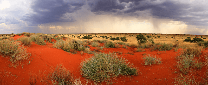
A downpour over Cravens Peak in central western Queensland in November 2011 (image courtesy of Aaron Greenville)
Published in TERN newsletter December 2016
