Data Collection Protocols
About protocols
Data collection protocols are a step by step set of instructions that are clearly written and provide the person in the field with all the detail they need to complete the task of recording information on a particular characteristic of an ecosystem. Following the agreed protocols in a standard way ensures data collected on revisits or by different surveyors are obtained in a consistent manner and are comparable across time, sites and projects.
TERN provides users of its protocols with information on how to decide which protocol is applicable to their project – the level of detail, survey intensity, mandatory and optional components will vary, but essentially the ‘same’ data types are collected by multiple users and hence when aggregated over time and space, can be used to build a picture of what is changing in an ecosystem, how much is it changing and in which direction is the change occurring.
On this page:
Remote Sensing Cal/Val Handbook
TERN’s Effective Field Calibration and Validation Practices handbook provides detailed information for calibrating and validating remote sensing derived products in a consistent manner to ensure they can be used for science and management applications. The handbook collates effective calibration and validation practices that link closely with internationally agreed data collection protocols, such as those set by the Committee on Earth Observations (CEOS) Working Group on Cal/Val.
- International best practices for calibration and validation of remote sensing products
- Detailed and practical guide to getting the most from your data
- Helps you meet the high standards demanded by science and management applications
- Covers a range of topics from sensor calibrations through to product validation

AusPlots Survey Protocols Manual
The TERN AusPlots Survey Protocols Manual provides a simple agreed method for anyone undertaking research or monitoring in the rangelands. The manual divides the method into a series of modules and respective data collection protocols that can be undertaken as individual investigations or in combination with others. There is also an accompanying app, currently available for Android operating systems, that allows users to enter data in the field and then upload this to a server as soon as a network connection is available.
- Provides a simple, agreed-upon method for anyone conducting research or monitoring in the rangelands.
- Divides the method into a series of modules and respective collection protocols that can be undertaken as individual investigations or in combination with others.
- Comes with an accompanying app that allows users to enter data in the field and then upload this to a server as soon as a network connection is available.
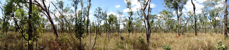
Included in the AusPlots Survey Protocols Manual is a protocol for taking photo-panoramas. The photo-panoramas’ method enables their use as traditional photo-points (static photos) and seamless site panoramas (360o panoramas from three locations within the plot). With the application of algorithms, the panoramas can be processed to generate a 3D reconstruction of the plot, which provides measurements of basal area and biomass.
- Provide a much more complete view of an ecosystem than traditional static photos.
- Can be processed to generate 3D reconstructions of ecosystems, providing measurements of basal area and biomass.
- Easy to produce, requiring only three photos from different locations within the plot.
- A cost-effective way to collect data on ecosystems.

Ecological Monitoring System Australia (EMSA)
The Ecological Monitoring System Australia (EMSA) has been developed by TERN in collaboration with the Australian Government Department of Climate Change, Energy, the Environment and Water (DCCEEW) to support the National Landcare Program.
EMSA ecological field survey modules and data systems are the result of a partnership between TERN and DCCEEW forged over multiple years. Read here for more information on the standardising ecological protocols for natural resource management (NRM) monitoring project.
Ecological Field Monitoring Protocols Manual
The Ecological Field Monitoring Protocols Manual contains 24 EMSA modules. Some modules interact and build on each other, while others are stand alone. Project managers can use the supporting materials (coming soon) to identify the monitoring needs of their project, and determine which combination of modules suits their requirements. In addition, each module contains multiple protocols the user can choose from to suit specific project needs and timelines.
The modules (available here) are designed to cater for the broad scope of NRM projects based on the relevant desired outcomes. The modules are:
- Plot Selection and Layout
- Plot Description
- Floristics
- Plant Tissue Vouchering
- Cover
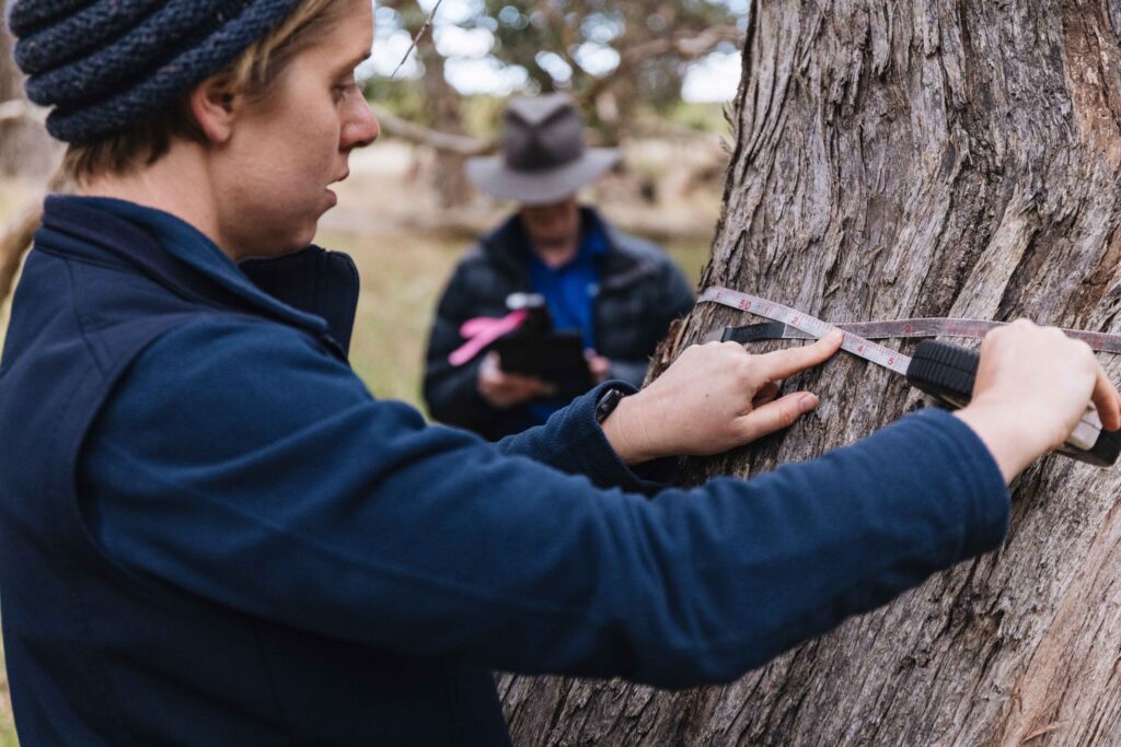
- Basal Area
- Coarse Woody Debris
- Photopoints
- Condition
- Soils
- Fire Severity
- Recruitment
- Vegetation Mapping
- Opportune
- Interventions
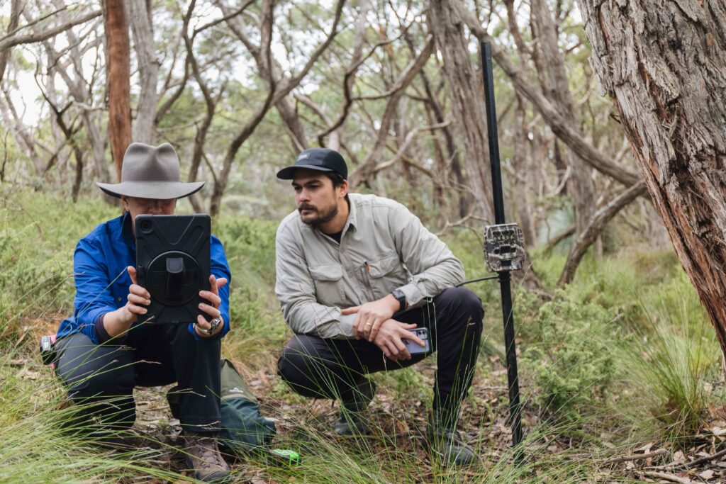
- Camera trapping
- Targeted Surveys
- Vertebrate Fauna
- Invertebrate Fauna
- Fauna Aerial Surveys
- Fauna Groud Counts
- Sign-based Fauna Surveys
- Herbivory and Physical Damage
- Pest Fauna Control Activities
SuperSites Vegetation Monitoring Protocols
2015 draft protocol for vegetation monitoring at TERN SuperSites.
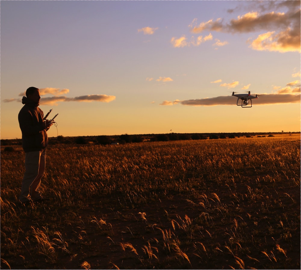
Drone Data Collection Protocols
Drone Data Collection Protocol
The Drone Data Collection Protocol was developed for the DJI Matrice 300 RTK (M300) drone platform. The protocol includes flight planning and data collection procedures to cover a 100 x 100 m (1 ha) area using RGB, multispectral and lidar sensors. Procedures include equipment and pre-field checklists, field task lists, and recommended settings for imagery and lidar missions:
- RGB and multispectral imagery capture using M300 with two sensors simultaneously: DJI Zenmuse P1 RGB mapping camera and MicaSense RedEdge-MX/Dual multispectral sensor.
- Lidar mapping using DJI Zenmuse L1 sensor on M300. The aim is to achieve consistent and robust data collection of vegetation structure to facilitate ecosystem monitoring.
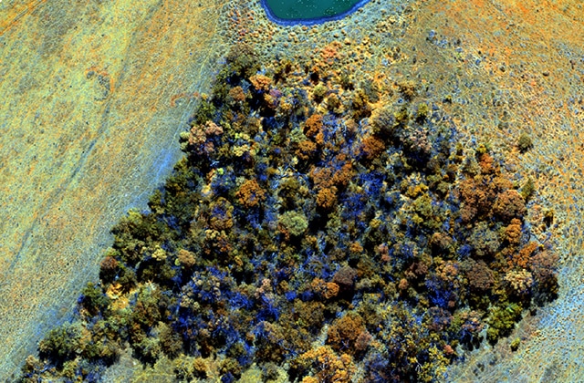
Drone RGB and Multispectral Imagery Processing Protocol
This protocol describes the data processing workflow developed for simultaneously collected RGB and multispectral imagery (Drone Data Collection Protocol). The workflows outlined in this document are designed for use with RGB imagery acquired with DJI Zenmuse P1 camera and multispectral imagery from MicaSense RedEdge-MX or Dual sensors. All descriptions assume the use of the Matrice 300 (M300) RTK drone platform. This protocol describes two approaches to processing RGB and multispectral imagery using Agisoft Metashape Pro:
- Automated processing using a Python-based workflow
- Step-by-step processing using the Metashape graphical user interface (GUI)
The main data products from this workflow are co-registered RGB and multispectral orthomosaics. The protocol also includes instructions on post-processing the raw GNSS data from the M300 D-RTK2 base station. These steps can be used to refine the position of the base station.
Drone Lidar Processing Protocol
This protocol describes the workflow to generate point clouds from the raw lidar data collected using DJI Zenmuse L1 sensor with Matrice 300 (M300) RTK drone platform (Drone Data Collection Protocol)