26 November 2014
Knowledge of Australia’s diverse soil and landscape attributes is vital to enable informed use and management of our soils and landscapes. As of today, comprehensive nation-wide information about important soil and landscape attributes is now readily available via TERN’s Soil and Landscape Grid of Australia. The Grid was launched today in Melbourne at the National Soil Science Conference.
The Soil and Landscape Grid offers a step-change in the way we can view and access the best available information about Australian soils and landscapes, and makes the most of significant past investments in soils information by drawing historical data together with new data generated from collecting of soil samples, modelling and remote sensing.
Watch the video for more information on TERN’s Soil and Landscape Grid of Australia
The result is easy access to nationally consistent and comprehensive soil attribute and landscape information at the finest resolution ever. Data are provided at 90m pixels, and are available for six soil depths down to a maximum of 2 metres. Estimates of uncertainty are included for each pixel.
The Grid represents a significant national collaborative effort bringing together researchers from CSIRO, the University of Sydney, Geoscience Australia and federal, state and territory government agencies. Soil and Landscape Grid Director Mr Mike Grundy, from CSIRO, said the Grid has already woven together hundreds of millions of dollars’ worth of past soil and landscape science discoveries into a new ‘digital tapestry’.
‘The research community has known we need better ways to make this diverse information available; new science and technology has let us make the most of the rich data we have,’ Mike says. ‘From exploring new land use options, to making the most of water, to finding habitats for endangered native species, this technology has applications we are only just beginning to imagine.’
The Grid will be beneficial to a wide range of users and many applications including urban and regional planners, land managers, farming groups, scientists and engineers. Researchers from a range of scientific disciplines will also benefit from the data in the Grid and the way it’s set up to be accessed in different ways, for example, directly downloading data or using GIS technology to select parts of the landscape and download the relevant layers.
‘We have designed the information in the Grid to be used easily by researchers, for example those working on climate models, farming system models and biodiversity models,’ says Mike.
Alexandra Gartmann, CEO at the Foundation for Rural & Regional Renewal and former CEO of Birchip Cropping Group, has worked with rural industries for almost two decades. She says she is excited by the new technology.
’Knowledge is power, and our agricultural industries have a very narrow margin for error these days, so the more knowledge to reduce poor decisions, the better,’ Ms Gartmann says. ‘Agribusiness will benefit from this technology, both at the farm scale — with data to inform production models and risk management decisions — and industry scale, as it draws together many years of past research and knowledge for future investment decisions.’
‘The Soil and Landscape Grid is a huge leap forward. With its national datasets and consistent and comparable data, it has huge potential for regional development, informing planning and decision-making,’ she says.
The Soil and Landscape Grid is live now at: www.csiro.au/soil-and-landscape-grid
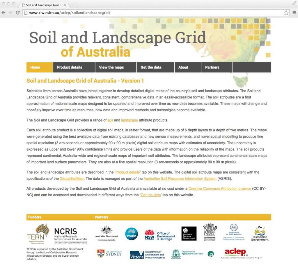
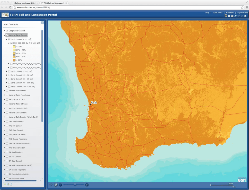
The newly launched Soil and Landscape Grid of Australia (1st image) provides ready access to comprehensive national soil and landscape information. It weaves historical data together with new data generated from sampling, modelling and remote sensing. The Grid is a user-friendly tool that can be accessed in different ways including an online viewer (2nd image), via Google Earth, and through direct download of data to the user’s software of choice.
TERN extends its warm thanks and congratulations to all project partners: CSIRO; University of Sydney; Geoscience Australia; Western Australia Department of Agriculture and Food; Tasmania Department of Primary Industries, Parks, Water and Environment; South Australia Department of Environment, Water and Natural Resources; Queensland Department of Science, Information Technology, Innovation and the Arts; Northern Territory Department of Land Resource Management; Victoria Department of Environment and Primary Industries; New South Wales Office of Environment and Heritage; The Australian Collaborative Land Evaluation Program.
