The South Australian Government have partnered with TERN to develop new techniques that improve state fire mapping, and understanding of fire location, extent and timing. The new methods use TERN’s satellite data products, and align with those of neighbouring states, in a significant step towards nationally consistent fire mapping.
TERN’s satellite imagery has been used so successfully to monitor fires that it is now part of a suite of vital fire-mapping services and products used by state governments and Australian fire and land managers.

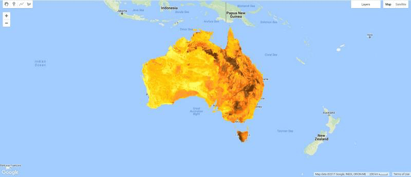
Pre-processed satellite imagery from TERN showing the areas burnt by fires—also known as fire scars—is used by agencies, including the Northern Australia and Rangelands Fire Information (NAFI), to monitor and map the extent and timing of fires across Western Australia, the Northern Territory and Queensland.
The latest application of TERN’s fire monitoring datasets sees the South Australian Department of Environment, Water and Natural Resources (DEWNR) collaborating with the University of Adelaide to explore opportunities using TERN AusCover data to improve state fire mapping, better understand fire location, extent and timing, and align current methods with neighbouring states.
New index delivers higher spatial resolution burnt area mapping
The collaboration has developed a new index to map burnt areas that is consistent with neighbouring states, and more quantitative and automated than current methods used by DEWNR for rangeland areas.
“Our new burnt area index will allow the potential for DEWNR to better understand fire location, extent and timing, and monitor for changes in these,” says University of Adelaide’s Dr Ken Clarke.
Knowing which areas have been burnt allows fire managers to map fuel sources and predict where a fire is likely to move. By combining several years of this information, they are able to create fire-history maps, which are an essential part of state land and fire management planning.
The index uses two satellite data derived products that are openly available via the TERN AusCover data portal—and also alongside all TERN ecosystem data via the TERN Data Discovery Portal. By combining the high-resolution (30 m) low-frequency (3 months) AusCover Landsat Seasonal Fractional Cover product with the high-frequency (2 weeks) low-resolution (250 m) AusCover MODIS Burnt Area product the collaboration has come up with an innovative method that’s both spatially and temporally comprehensive.
“We used the finer resolution Landsat Seasonal Fractional Cover product to measure the change in bare ground from one summer to the next, and possible burns are highlighted by an increase in exposed soil,” says Ken. “We then assigned a confidence level to those detections by overlaying information on the areas identified as burnt or possibly burnt by the more frequent medium resolution MODIS Burnt Area product.”
“Using both Landsat and MODIS data has its challenges, such as detecting short-lived burn signatures from low intensity or low fuel load fires due to the long period between Landsat assessments, but by doing so we’re able to produce maps with a much higher spatial resolution than is possible just using MODIS data,” adds University of Adelaide team member Dr Dorothy Turner.
TERN’s high-resolution AusCover Landsat Seasonal Fractional Cover product (top left) has been used with the high-frequency TERN AusCover MODIS Burnt Area product (top right) to develop a new innovative method of mapping burnt area for the SA Government (bottom left) that is more spatially and temporally comprehensive than existing state information (bottom right)
A step towards consistent national fire mapping
The new methodology provides DEWNR with more reliable, consistent, timely, comprehensive and cost-effective fire mapping and monitoring than current methods.
And, importantly, says Professor Megan Lewis Head of University of Adelaide’s School of Biological Sciences, this project—and indeed the TERN infrastructure and data it relies on—is helping Australia move towards national fire mapping by aligning the fire monitoring methods of SA with surrounding states.
“Consistent national fire mapping would have significant advantages over current state by state approaches,” says Megan. “It would be more cost effective for government agencies for one, but the real benefits are for land and fire managers, who would be able to more efficiently access consistent and continuous fire information at unprecedented spatial coverage.”
“We’re not quite there yet, but this project and the methods and applications of TERN data it delivers are a significant step towards multi-state collaborations and ultimately a more coordinated national approach to fire mapping.”
- The pre-processed satellite data derived products used in this project are openly available via the TERN AusCover data portal:
- AusCover Landsat Seasonal Fractional Cover product
- AusCover MODIS Burnt Area product
- For more information on this project or the services and datasets provided by TERN AusCover please email auscover@tern.org.au
Published in TERN newsletter January 2017
