News

Monitoring the impacts of bushfires on soils

Photo of the Australian bush | Featured Image for Monitoring the Impacts of Bushfires on Soils page by TERN.
Analyses of soil and vegetation samples collected by TERN on Kangaroo Island, South Australia, before and after the catastrophic 2019/20 bushfire are enabling scientists to track post-fire environmental recovery and ecosystem resilience. Here we highlight new research that is using TERN’s open-access soil samples to investigate the impacts of fire on soil and its ability to store and cycle carbon and nutrients.

In 2018, TERN established 12 permanent environmental monitoring plots on Kangaroo Island, South Australia. The devastating ‘black summer bushfires’ in December 2019 and January 2020 burnt through almost half of the land area of Kangaroo Island, including some of the TERN plots.

In October 2020, a team of TERN ecologists returned to Kangaroo Island to re-survey the plots. They found four plots were severely burnt, two were patchily burnt and six plots were unburnt. At these plots, before and after the fires, TERN ecologists collected vegetation and soil data and samples, which are now freely available for researchers to use.

Image of trees out in the Australian bush | Featured Image for Monitoring the Impacts of Bushfires on Soils page by TERN.

Before and after the 2019/20 bushfires on Kangaroo Island, TERN ecologists collected vegetation and soil data and samples, which are now freely available for researchers to use.

Photos of various plants in the wild | Featured Image for Monitoring the Impacts of Bushfires on Soils page by TERN.

How do bushfires impact soils?

A new project by researchers at The University of Adelaide aims to determine the impact of such catastrophic bushfires on the chemical and physical properties of soil, specifically focusing on the impact fire has on nutrient and carbon cycling.

To investigate carbon and nutrient cycling in burnt and unburnt soils, the researchers are conducting geochemical analysis on soil samples collected by TERN from the soil surface down to 10 cm deep at nine positions within each plot.

Soil samples are being analysed for a suite of chemical properties, including pH, electrical conductivity (EC), organic and inorganic nitrogen and phosphorus, iron oxides, water repellence and total organic carbon.

TERN’s AusPlots Rangelands Survey Protocols manual illustrates the location of soil collection at each plot – layout of the 10 point-intercept transects and indicative locations of the soil pit and nine soil cores to 30 cm across the plot. The black soil core locations are where metagenomics samples are also collected.

TERN’s pre- and post-fire samples essential to research

Lead researcher, Dr Luke Mosley of The University of Adelaide:

“Fire has been noted to have a range of effects on soils. Having access to well characterised TERN sites and soil samples that were sampled pre- and post- the Kangaroo Island bushfires provides a valuable opportunity to better understand these effects.

Postdoctoral fellow Dr Sonia Mayakaduwage is currently conducting detailed analyses on the TERN samples, and I am really intrigued to see the results.”

Dr Luke Mosley, The University of Adelaide

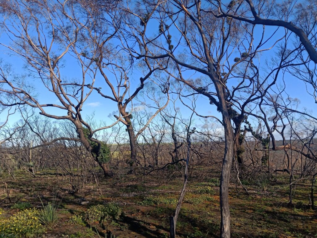
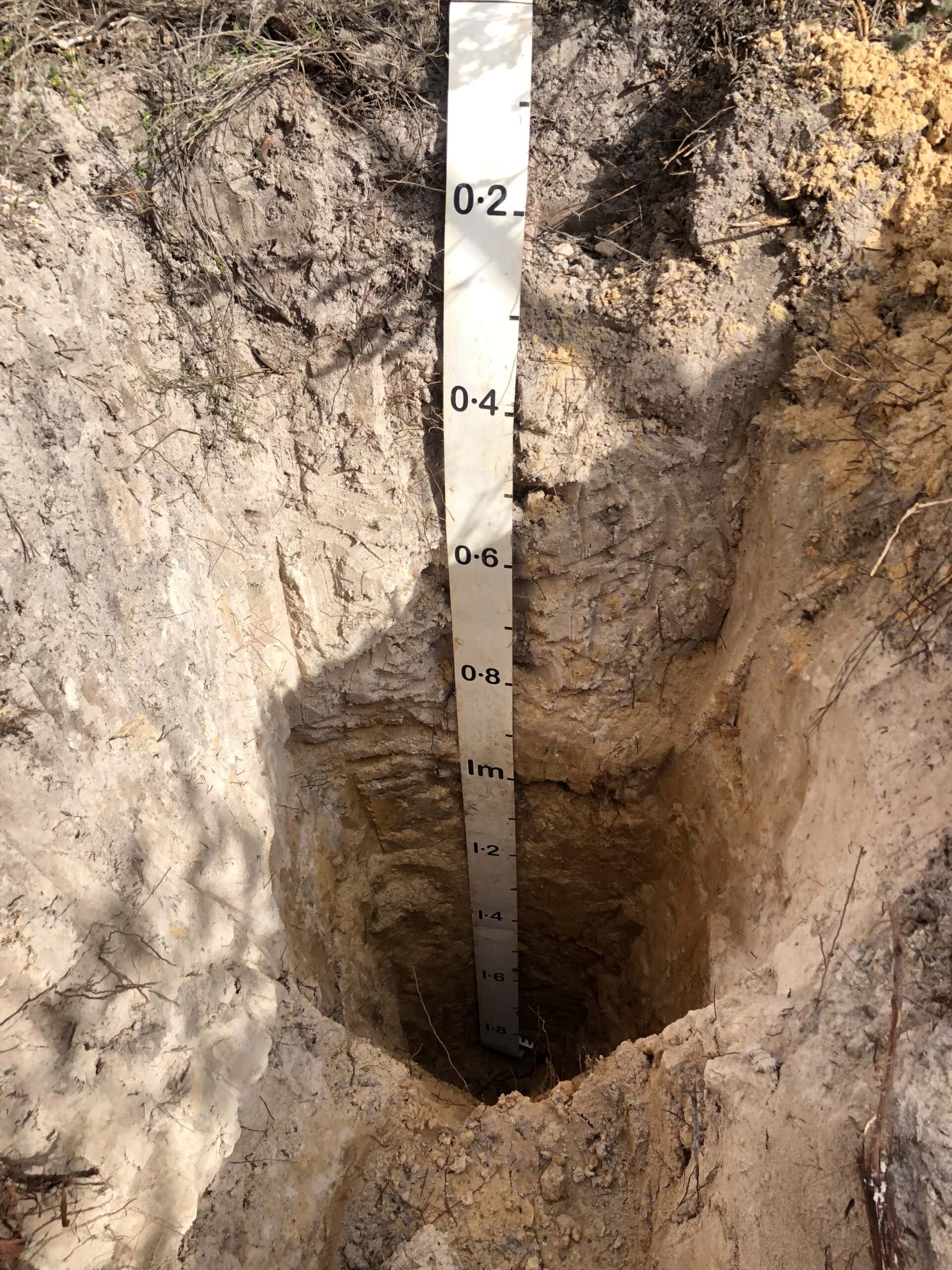
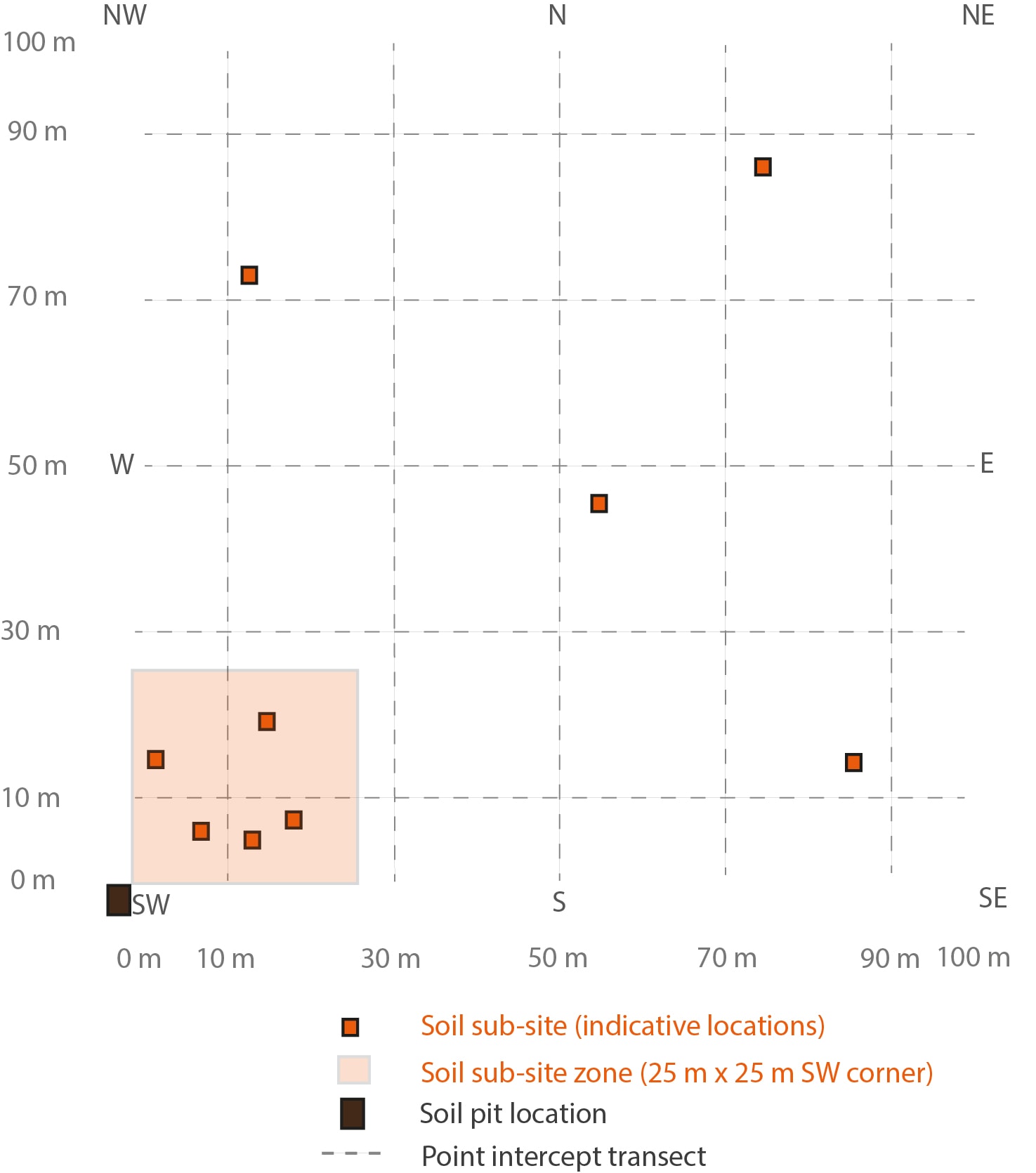
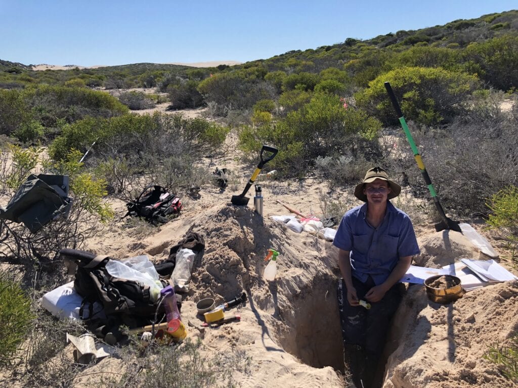
When TERN soil scientist Luke Finn surveyed the burnt plots on Kangaroo Island in October 2020, he noticed distinct evidence of fire impact to the soil he was collecting for researcher use.

“There were some visible ash layers in some samples, so we expect to discover that the bushfires have altered the chemical properties of the soil.  But, to know just how much and what it means for ecosystem recovery and land management, we’ll have to wait until the research is complete.

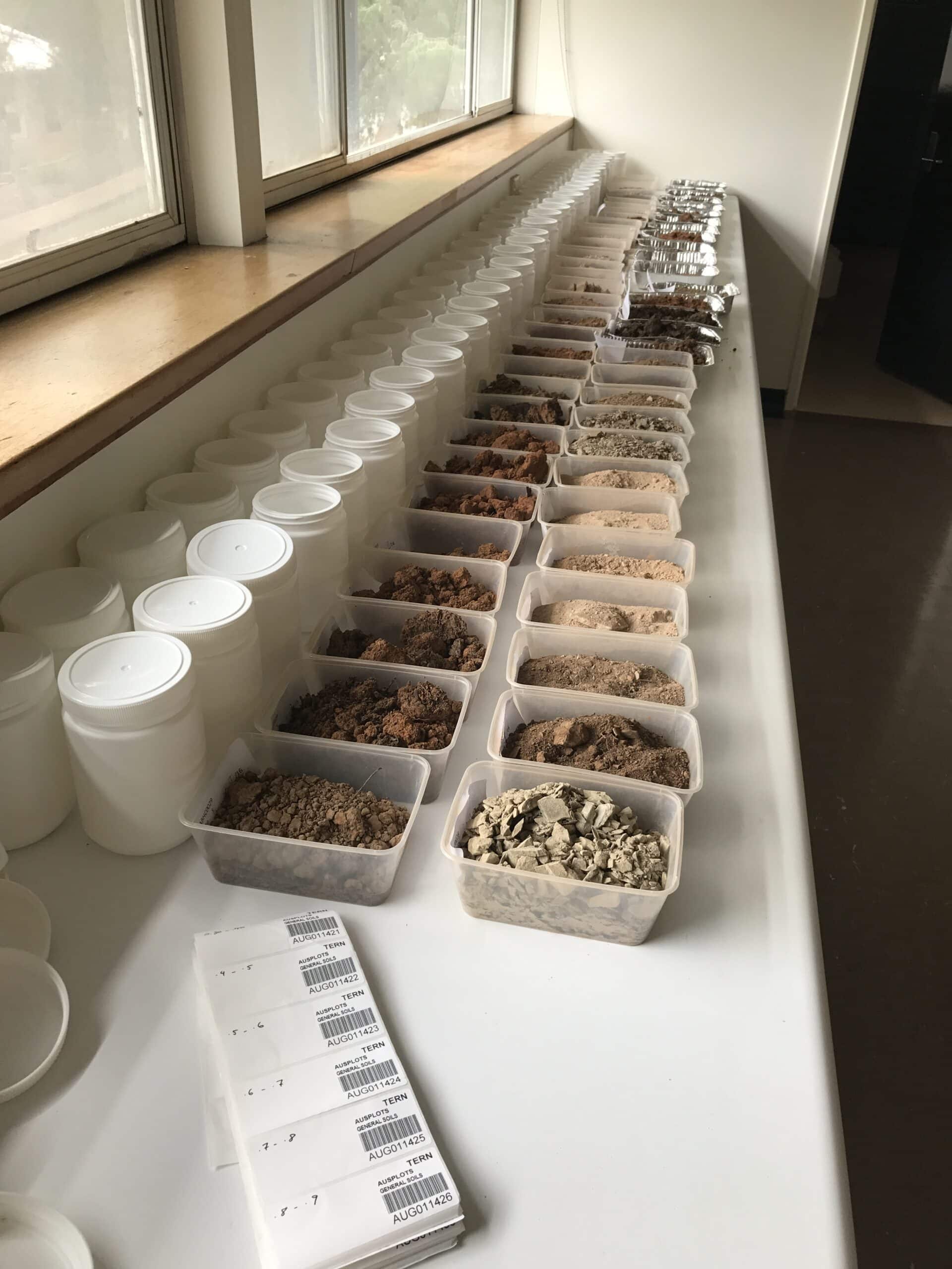
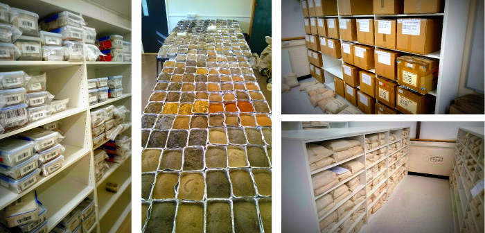
With the outcomes expected to help inform management of fire affected soils, it’s fantastic to see TERN’s open-access soil samples being used once again in such important research.  It makes my work collecting them at more than 800 TERN sites nation-wide very rewarding.”

Luke Finn, TERN

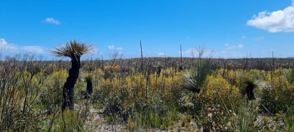
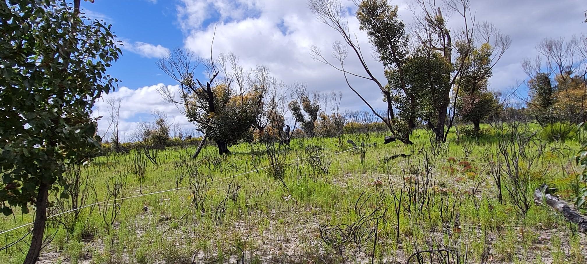
From 25-29 October TERN soil scientists and field ecologists resurveyed TERN’s Kangaroo Island plots.  Data and samples from this third iteration of TERN surveys will be available via TERN in the coming weeks – see below for information on how to access them.

Research conducting research out in the bush | Featured Image for Monitoring the Impacts of Bushfires on Soils page by TERN.

Tens of thousands of soil samples, soil metagenomic samples, plant voucher specimens and plant genetic material collected from TERN’s national network of over 780 ecosystem surveillance monitoring sites are now openly available to interested researchers.

Share Article