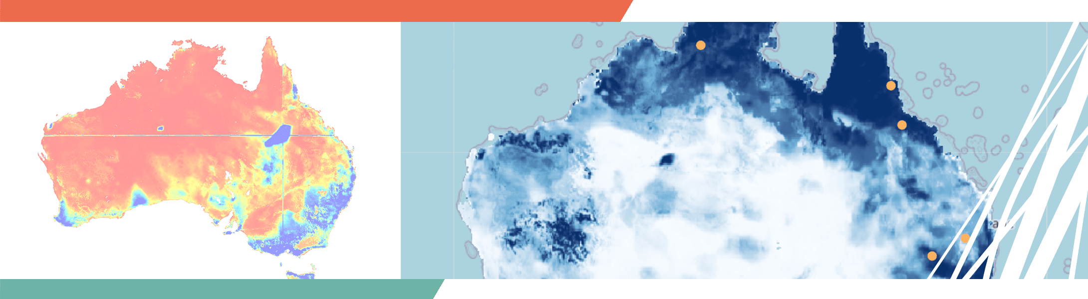
TERN’s new world-leading soil moisture information system provides nation-wide daily estimates of volumetric soil moisture at a 1km resolution and an index of how full (or wet) the top 90cm of soil is at a particular location and time. The system will help land managers better monitor drought, predict bushfires and floods and make highly informed management choices to improve agricultural productivity.
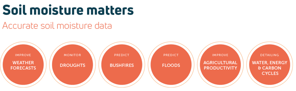
Understanding soil moisture matters. Accurate soil moisture data can improve weather forecasts, help monitor droughts, predict bushfires and floods, improve agricultural productivity, and enable more accurate budgeting of water, energy and carbon. Soil moisture is also a critical driver in ecological function and environmental condition.
Recognising this, TERN has been working with its infrastructure partners for more than a decade on the production, refinement and provision of national-scale soil moisture data. We’re now pleased to announce the launch of the Soil Moisture Integration and Prediction System (SMIPS).
SMIPS provides nation-wide daily estimates of volumetric soil moisture at a resolution of approximately 1km. It also provides an index of between 0-1, which approximates how full (or moist) the top 90cm of soil is at a particular location and time.
SMIPS is a great example of the contribution of national research infrastructure to not only ground-breaking science, but also the delivery of a product that will provide soil information for many different industries. This product utilises a range of data sources that are only truly available due to the national research infrastructure investment and expertise of Australia’s research community. SMIPS is at the forefront of the measurement and modelling of soil water dynamics and most critically accessibility for land management and the derivative science and product development.
Dr Ben Macdonald, CSIRO

TERN’s new Soil Moisture Integration and Prediction System (SMIPS) will incorporate existing data from TERN’s Soil and Landscape Grid of Australia, remotely-sensed rainfall data and Bureau of Meteorology (BoM) climate data with soil moisture data collected by on-ground monitoring equipment at TERN and partner sites around Australia
World-leading data system fills essential infrastructure gap
The SMIPS system was developed thanks to investments by TERN, CSIRO, the Australian National University (ANU), the Bureau of Meterology (BoM), The University of Sydney, and the Department of Water, Agriculture and the Environment.
SMIPS incorporates data from TERN’s Soil and Landscape Grid of Australia, precipitation and potential evapotranspiration data from the Bureau of Meteorology’s AWRA Model, and soil moisture data collected by on-ground soil moisture monitoring equipment (including COSMOS sensors) at TERN and partner sites around Australia.
To increase accuracy, it links in continuous (daily) satellite soil moisture data from the European Space Agency’s Soil Moisture Ocean Salinity (SMOS) Earth Explorer mission.
In addition to version 1.0 of the model, an experimental version of the model is available for user testing. This version of the model uses precipitation data supplied by an experimental CSIRO daily rainfall surface generated using spatial data from the NASA Global Precipitation Mission as a base and enhanced using rainfall observations from the Bureau of Meteorology (BoM) rainfall gauge network, and various landscape covariates, processed using a machine learning approach.
“Traditionally, soil moisture is measured using on-the-ground point-based sensors and while these data are useful at a paddock scale, the ability to interpolate to larger areas is limited.
At the other end of the scale, modelling is used to upscale on-ground point measurements and estimate soil moisture over large areas. But, modelling is often unable to adequately capture and represent all of the physical processes involved, and the spatial resolution of new global-scale satellite products resolution is far too coarse for management decisions, and importantly, fails to capture important local processes.
The SMIPS soil moisture system developed through TERN, takes a data model fusion path to produce daily estimates of volumetric soil moisture by combining the local physical representation of modelling with the spatial coverage of national digital soil information and the temporal consistency of satellite-based products, to produce a ‘best-of-both-worlds’ continental scale soil moisture product.
This revolutionary project is changing the way we estimate soil moisture and Australia’s national research infrastructure makes this possible. Accurate, real time data availability fills an essential national data gap.”
Matt Stenson, CSIRO and TERN