Monitoring along rainfall gradients to anticipate ecosystem change
Published
South-western Australia is one of the world’s most extraordinary biodiversity hotspots. Its woodlands, from the coastal Banksias of the Swan Coastal Plain to the Wandoos of the Darling Ranges and the vast semi-arid Salmon gums of the Great Western Woodlands, support an astonishing diversity of plants found nowhere else on Earth. Yet these ecosystems are under mounting pressure. The south-west has been drying for decades: since the 1970s, annual rainfall has declined markedly and temperature has risen, with projections suggesting the trend will continue well into this century. Understanding how this drying and warming climate is reshaping plant communities is one of the most urgent ecological questions facing land managers in the region.
To begin answering the question, TERN and the WA Government have funded the establishment of three long-term biodiversity monitoring transects along precipitation gradients across these key woodland types in Western Australia. The establishment and monitoring work is a collaboration involving the University of Western Australia, CSIRO, the WA Department of Biodiversity, Conservation and Attractions, Adelaide University, University of Queensland and several other institutions and has used TERN’s standardised, long-term ecological monitoring protocols.
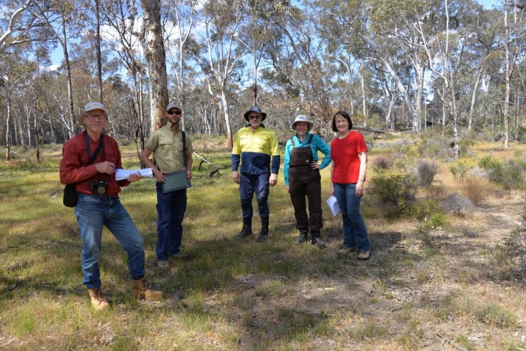
Researchers from many institutions have generously collaborated in establishing the TERN biodiversity transects in Western Australia (S. Prober)
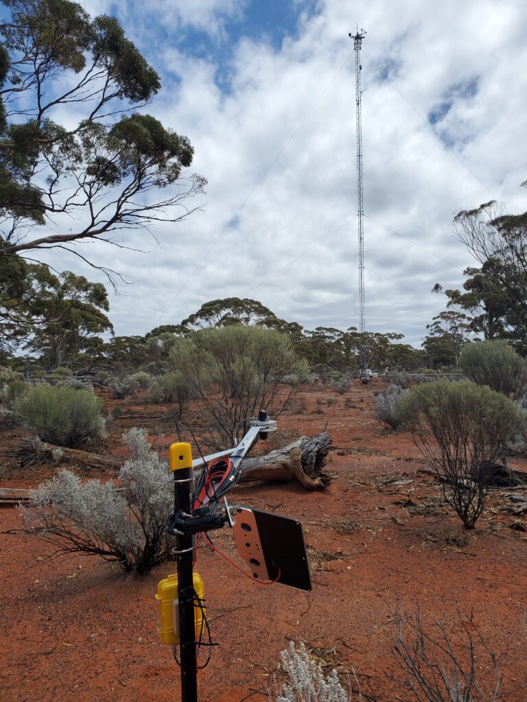
Each of the three transects is anchored by a TERN SuperSite equipped with an eddy covariance flux tower, which continuously measures the exchange of carbon, water and energy between the woodland and the atmosphere. These measurements give researchers not just a snapshot of vegetation structure and composition but a window into how the ecosystem is functioning in real time.
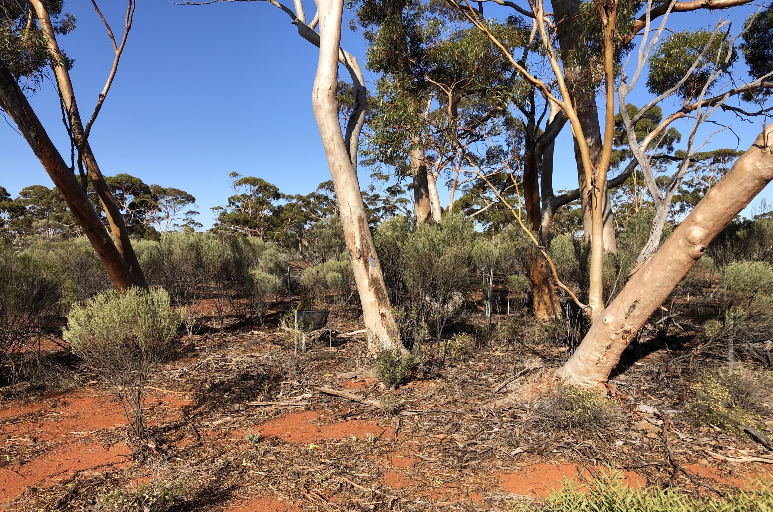
Each transect includes an eddy covariance flux tower, as shown in the background above at the TERN Great Western Woodland SuperSite near Kalgoorlie in WA. In the foreground is one of 24 solar powered Photosynthetically Active Radiation (PAR) sensors installed along the biodiversity transect to monitor plant growth.
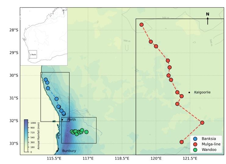
The first transect stretches approximately 175 km along the Swan Coastal Plain, running through the Banksia woodlands that once covered much of the Perth Basin and surrounds. This federally listed threatened ecological community is characterised by its extraordinary diversity of Banksias, shrubs and ground flora, sustained in nutrient-poor sandy soils. The transect spans a meaningful gradient in annual rainfall, from drier sites in the north to wetter sites in the south and also contrasts sites with shallow and deep water tables to tease apart the relative influences of rainfall and groundwater.
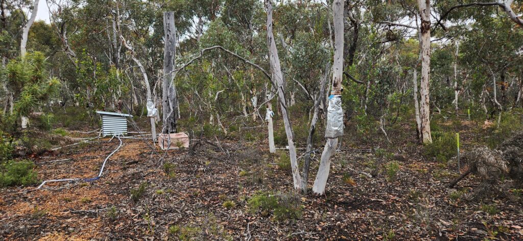
Banksia woodland biodiveristy transect in WA
The second and largest transect runs some 600 km through the Great Western Woodlands, crossing one of Australia’s most prominent ecological boundaries: the Mulga-eucalypt line. This is the zone where arid Acacia-dominated Mulga woodlands give way to the taller Salmon Gum woodlands to the south. Exactly what drives this boundary, whether aridity, soil chemistry, groundwater salinity or a combination of these factors, has long been a subject of scientific interest. The transect was designed to help resolve this question and to track whether the boundary itself might shift in response to a changing climate.
The third transect covers a steep rainfall gradient across approximately 60 km of Wandoo woodland east of Perth. Eucalyptus wandoo is a deep-rooted, drought-tolerant tree that forms open woodlands across the Darling Escarpment and into the agricultural fringe. Its eastern populations have suffered documented decline in crown health and increasing mortality over the past four decades, attributed in large part to reduced rainfall and higher temperatures. The transect spans both the healthier central parts of the Wandoo distribution and its more vulnerable eastern edge.
Wandoo woodland biodiversity transect in WA
Across all three transects, 32 one-hectare plots have been established and surveyed using standardised AusPlots methods, recording every plant encountered along a systematic grid of sampling points. The first round of surveys was completed in 2022, generating over 40,000 floristic records and providing the baseline against which future change will be measured, explains Dr Caitlin Moore from TERN’s WA node at the University of Western Australia. “The intention is to resurvey annually for the first three years and then every three years, building a time series that will allow researchers to detect whether the patterns seen across space today are being replicated through time as the climate continues to shift,” she says.
Dr Suzanne Prober, who leads TERN’s Great Western Woodlands SuperSite, explains that broader scientific approach rests on a well-established ecological principle. “By sampling communities along a gradient from drier to wetter conditions today, we can infer what wetter sites might look like in the future if the climate at those locations dries to match current conditions at the drier end of the transect.”
This “space for time” substitution is not a perfect crystal ball, but it provides an empirically grounded basis for anticipating where biodiversity transitions might first appear and which species might serve as early indicators of change.
The monitoring infrastructure these transects represent is a long-term investment. The value of the first survey lies not in what it tells us today but in what it makes possible tomorrow: a rigorous, standardised record of where things stood before further change unfolds. In a region where the pace of climate-driven transformation is already outstripping the predictions made just a decade ago, that baseline could prove invaluable
Western Australian greater region and overview of all transects along a generalised annual rainfall gradient
(1991-2020 gridded data) (contact S. Prober, CSIRO)