TERN's collaborations
TERN is collaborating with peer NCRIS projects and research organisations across Australia to create new tools to manage, share and build data networks, platforms and systems.
Tools that support the discovery, analysis and re-use of data
- Cloud-based virtual desktop to run and share experiments (CoESRA)
- Data submission, harmonisation and retrieval of ecological data (SHaRED)
- Discovery, mapping and analysis of landscape-scale ecosystem datasets (Data Visualiser)
- Cloud-based analysis, synthesis and training platform
The ‘Australia’s Environment’ report aims to make spatial information on environmental conditions more accessible and easily interpreted at different levels of detail. The report summarises a large amount of observations on the trajectory of our natural resources and ecosystems. On the website, you can find a national summary report, as well as report cards for different types of administrative and geographical regions. In the accompanying data explorer, the spatial data can be viewed as maps, accounts or charts by region and land use type, and downloaded for further use.

The first of its type in the world, the TSX provides reliable and robust measures of change in the relative abundance of Australia’s threatened and near-threatened species at national, state and regional levels.
Understanding these changes in species populations is crucial for monitoring progress towards global conservation targets. Moreover, the TSX allows users to measure and report on the benefits of conservation investments, as well as justify and design targeted responses and raise the profile of threatened species.
ASDC is a three-year national collaborative research project that aims to standardise and scale drone scientific data capture, analysis and translation for users in academia, government and industry.
Over three years we will build five use cases for different natural science areas that can be used by researchers, applied scientists and others in government and industry. Through the ASDC, researchers will be able to access near-real-time and societally-relevant drone-derived information. ASDC will deliver a nationally accessible ecosystem for drone-related research and innovation.
Australia’s national research infrastructures are working together to streamline access to integrated data for State of the Environment reporting and other environmental assessments. The collaborative project is ensuring easy, open access to comparable, time-series datasets for key measures of the state of Australia’s environment and biodiversity.
We provide relevant, useful and informative data, tools and services for monitoring Australian ecosystems.
Ecological Field Monitoring Protocols:
Standardising environmental monitoring and data systems for improved decision making.
Pest Fauna Protocols:
Standardising pest fauna monitoring and data collection for improved decision making and adaptive managemen
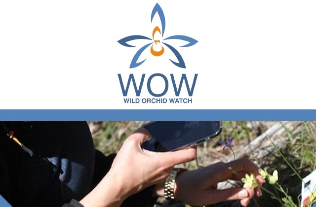
Wild Orchid Watch (WOW) is an exciting national citizen science project designed to collect, record and share scientific information about Australian native orchids—a useful indicator of biodiveristy change.
WOW is five things: an app; agreed methods; information resource; data collection; and data sharing.
WOW was created through a partnership between TERN’s Ecosystem Surveillance observatory platform; the University of Adelaide; and native orchid enthusiasts across Australia with grant funding from the Australian Government’s Inspiring Australia Science Engagement Programme.