News

R package for Soil and Landscape Grid of Australia

Quickly and easily download geographic subsets of nationally-consistent and comprehensive soil and landscape data for your area of interest.

The Grid’s ability to support agricultural and NRM decision-making just got better thanks to this new R package.

Hot on the heels of last month’s release of the TERN AusPlots R package, we’re excited to announce yet another TERN data R product, this time for our Soil and Landscape Grid of Australia.

Using the ‘slga’ R package, users can download geographic subsets of raster data from TERN’s Soil and Landscape Grid of Australia, a compilation of soil samples and landscape data and modelled soil attributes at a finer resolution than ever before.

“slga allows users to easily download raster data from The Grid by providing an area of interest and a product name.”

Lauren O’Brien, soil scientist and R package developer

Using the slga R package it only takes a few lines of code (below) to download and plot predicted soil organic carbon (above), in this instance around the Border Ranges National Park, on the Queensland-New South Wales border (images courtesy of Lauren O’Brien)

The package also provides access to a set of terrain and climate variables useful for soil modelling derived from GeoScience Australia’s Digital Elevation Model products.

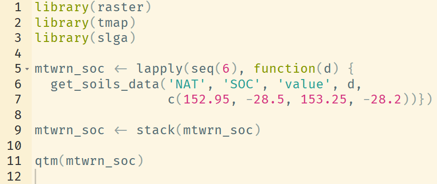
“slga works because the developers of The Grid published good geospatial web services that made all of the data web-accessible.

Web services are commonly used in viewers like the National Map or standalone GIS software and are really powerful and flexible, at the cost of being quite complicated and hard to query directly.

slga wraps over the top of those services and makes them easy to work with in R.”

Lauren O’Brien, 
soil scientist and R package developer

Supporting agricultural and NRM decision-making

The soil data surfaces contained in The Grid are a unique compilation of the best-available soils data in Australia and can be used alone or combined in innovative ways to make a variety of maps for use in natural resource management (NRM) and decision-making.

“For instance, using The Grid and the slga R package I can combine data on slope and soil texture and depth to try and figure out if an area of land would be a good place to grow a particular crop. 

Or, I could do a similar calculation to find out if that land would be suitable habitat for a particular organism.

And, because the datasets also match up with international standards it’s easy to combine them with similar data from overseas and conduct cross-continental analyses.

The TERN Soil and Landscape Grid is an essential piece of national information infrastructure that is supporting informed use and management of Australia’s soil and landscapes.”

Lauren O’Brien, soil scientist and R package developer

Share Article