Researchers and managers from all corners of the continent converged on the Great Western Woodlands Supersite this month, on Credo Station approximately 70 km from Coolgardie in Western Australia, to be trained in the AusPlots Rangelands Field Survey Protocols.
Staff associated with two TERN facilities, the Australian Supersite Network and the Multi-Scale Plot Network (AusPlots Rangelands), spent a week teaching and learning with stakeholders from government departments, NGOs and natural resource management organisations across Western Australia, South Australia and Queensland.
Among the group were 12 staff members of the WA Department of Environment and Conservation’s Science Division. The Director of the Science Division, Dr Margaret Byrne, said that the training had helped a number of local researchers and DEC staff to become more familiar with this new innovative method for monitoring Australia’s vast rangelands.
‘The Great Western Woodlands are an invaluable environmental asset, offering unique opportunities for researchers to examine questions about temperate woodland ecosystems,’ she said. ‘Cooperative effort between DEC and TERN is helping to improve our understanding of the area.’
Covering 16 million hectares in south-west Western Australia, the Great Western Woodlands (GWW) is the largest remaining intact temperate or Mediterranean woodland in the world. Not only did the group learn techniques that they can put to good use elsewhere in the Australian rangelands, they also actively assisted in the ongoing management of the GWW by establishing a number of long-term monitoring sites, in keeping with the national scope of AusPlots Rangelands’s activities.
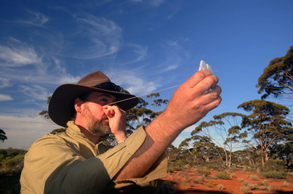
Ben Sparrow, MSPN Science and Technical Lead, demonstrates the use of a basal wedge
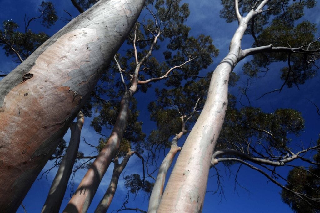
Overstorey vegetation in the Great Western Woodlands Supersite
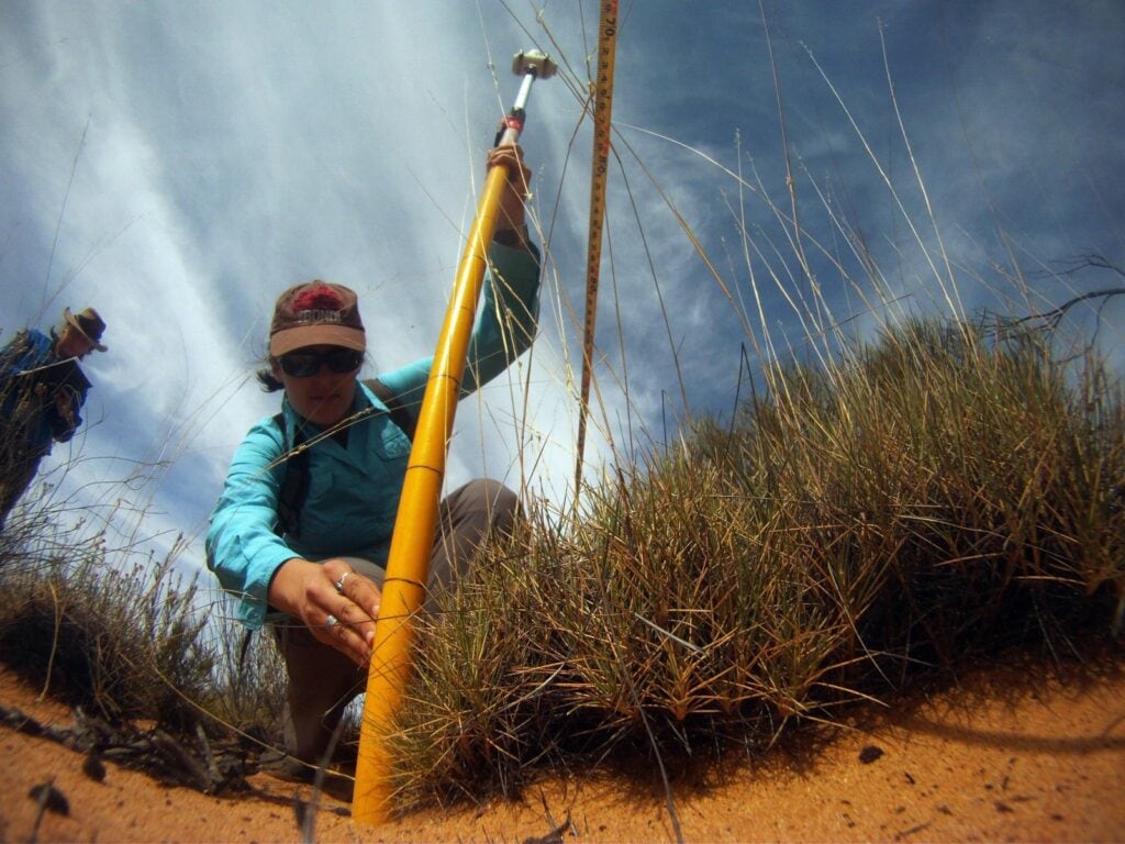
Attendees at the AusPlots Rangelands training undertake a vegetation transect
Developed in conjunction with collaborators from all Australian rangeland jurisdictions across several government agencies, the new AusPlots Rangelands survey method is being used to collect uniform data across Australia’s rangelands to inform research, management and conservation strategies.
Graeme Armstrong from the Fitzroy Basin Association plans to put the method to work almost immediately upon his return to central Queensland.
‘We’re working closely with our partners to provide support to improve land condition, water quality and biodiversity across the region for a sustainable social, economic and environmental future,’ Graeme says. ‘When we read about the AusPlots Rangelands method in a TERN newsletter earlier this year, it sounded like exactly what we needed so we got in touch with Ben straight away.’
Ben Sparrow and other members of the University of Adelaide-based AusPlots Rangelands team have been fielding calls and emails from a diverse range of interested organisations.
‘Our AusPlots Rangelands Field Survey Protocols Manual is now available for free download from the TERN website, and we’re looking to start organising a third training session somewhere else in Australia very soon. Watch this space for details,’ Ben says.
For more information on the new AusPlots Rangelands Survey Protocols Manual please contact Ben Sparrow, Science and Technical Lead, Multi-Scale Plot Network, by email or on (08) 8313 1201.
Published in the TERN e-Newsletter October 2012.
