An Australian commercial remote-sensing product is helping environmental management. TERN’s data provides the validation that makes it all work.
Ozius is a small, young, Brisbane-based remote-sensing solutions company. Biome is its data product. It supports environmental management and sustainability research by offering managers powerful information tools. Biome is powered in part by TERN data.
The company describes Biome as “environmental intelligence”. This means being able to rapidly provide land managers with high-fidelity information about key environmental features, the most important of which are the condition of the vegetation, soil and water. “We can’t simply provide our customers with data for them to interpret,” explains Ben Starkey, Ozius Managing Director. “We must provide them with knowledge and intelligence that they didn’t otherwise possess, as quickly as possible and with a high level of confidence.”
TERN’s validation role
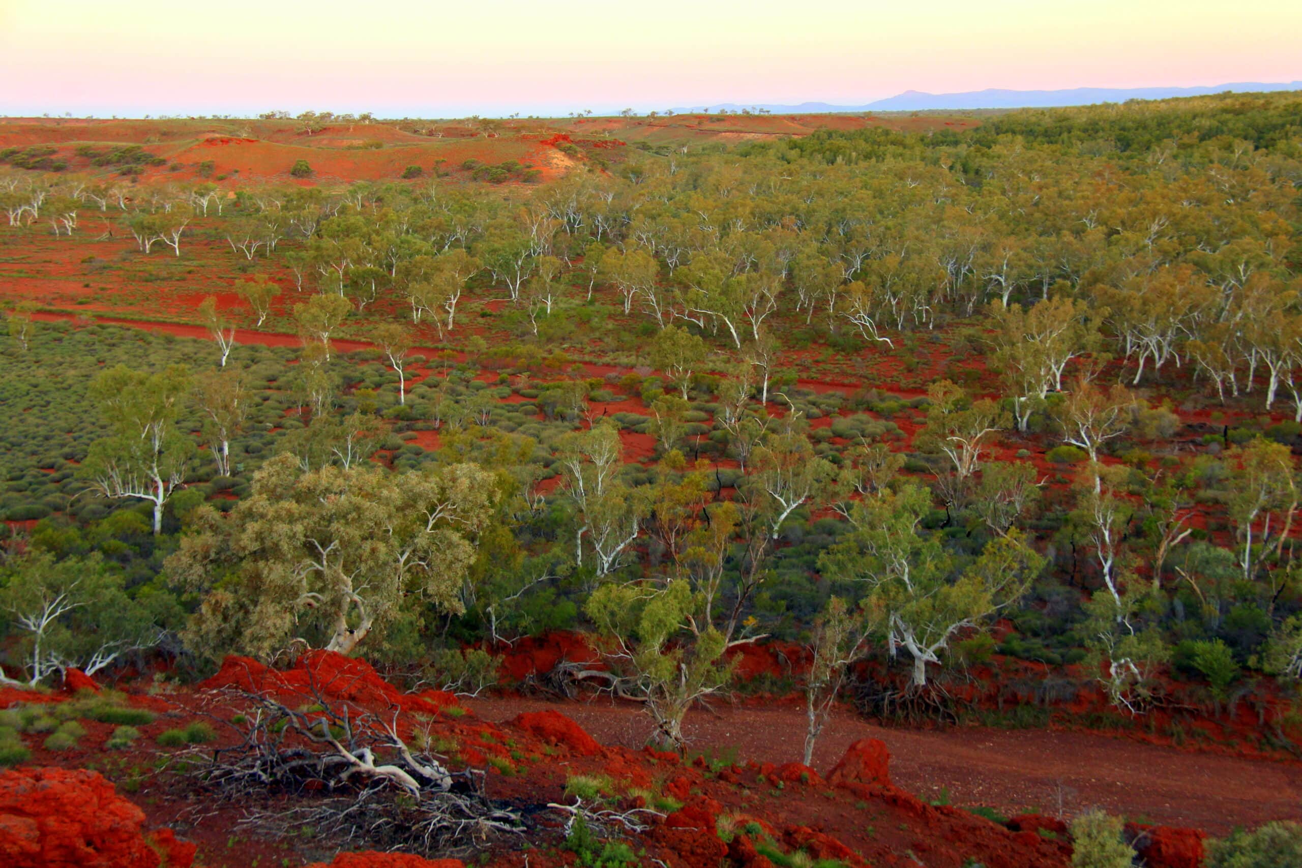
TERN has a key role in providing that confidence. At the core of Biome is advanced environmental data sets of biophysical properties and topographic information at national scale. This is derived information, sourced from publicly or commercially available data sets from optical, microwave and lidar (laser 3D-mapping) sensors. Two main providers are the European Space Agency (Sentinel-1 and Sentinel-2 satellite images) and NASA’s Global Ecosystem Dynamics Investigation (GEDI) laser-ranging data of forests. From these sources, Ozius uses proprietary methods to construct its new data sets. These permit detailed predictive modelling of environmental processes.
It is important for Ozius that Biome be able to certify the data’s reliability. TERN’s open data set makes this possible across the whole of Australia. Specifically, Biome incorporates TERN’s SLATS Star Transects data. These validate the various parameters that Ozius has calculated for Biome – including foliage protective cover, canopy cover, and plant protective cover – against actual field data. TERN is uniquely able to provide this validation. This helps customers trust the Biome product, thereby fostering commercialisation.
The trust greatly adds to the product’s usefulness and attractiveness. “Biome needs to work everywhere, and not just for one vegetation community type, or for one region,” adds Starkey. “The TERN data gives us confidence and evidence that our vegetation and forest products are of the highest fidelity available.” The TERN data also helped the company identify areas for improvement into which it could invest.
“The TERN data gives us confidence and evidence that our vegetation and forest products are of the highest fidelity available.”
Ben Starkey, Ozius
Two-stage opening
Biome’s soft launch in November 2021 has been very successful. Early adopters are already using the tool in sectors including carbon trading, ecological research, and koala habitat protection. State and local governments are also now using the system to help inform policy decisions and to support utilities management.
One major early application is bushfire modelling. This utilises one of Biome’s most important value-added data sets: a metric of vegetation structure, or three-dimensional complexity. A lawn effectively has zero structure, whereas a mature tropical rainforest’s structure is extreme. The structure variable is important for predicting how a bushfire moves through the landscape. Knowing that helps emergency services plan for and respond to fires. Biome’s 3D structure, also foliage and canopy density information, brings a literal new dimension to this modelling. By improving the data inputs into fire modelling software, the company can improve the outputs, allowing better decisions to be made more quickly and with more confidence. This makes for a more effective bushfire response.
Since the beta-launch, the company has been refining its existing products, creating new products, and exploring the possibilities of expanding into new geographic markets.
The full-scale launch is scheduled for mid-July 2022. In addition to the paid premium features, the company will also launch a free basic service. This will enable anyone to obtain vegetation information about their suburbs. Data includes the location of the tallest tree, plus the biomass and carbon-storage potential of local trees.
The premium features are very sophisticated, allowing optimisation of field-data collection across all types of habitats. One of many applications of this capability allows field ecologists to pinpoint certain combinations of vegetation type and structure. This is useful because rare plant species often only exist in areas showing such combinations. Satellite data will not locate individual plants but being able to pinpoint areas matching the specified criteria can dramatically reduce the amount of searching necessary to find them on the ground.
Ozius Biome is already a successful Australian product, making a difference to environmental management. As the company grows and offers more services, its contribution will be even greater.
