The 25Ha forest dynamics plot at TERN’s Robson Creek Rainforest SuperSite monitors over 200 species of tropical rainforest trees and is valuable as a validation site for both UAVs and satellite-based remote sensing.
The Calibration and Validation (Cal/Val) team from the Geoscience Australia (GA) Digital Earth Australia (DEA) branch travelled to Cairns recently for a number of projects. The first was to capture data for a site where an artificial wetland is being constructed by a local First Nation’s enterprise, Jaragun Ecoservices. The wetland is designed to aid in the prevention of run off from agricultural areas which would otherwise affect the Great Barrier Reef (GBR).
While the Cal/Val team was in the Cairns area, they also looked at capturing data over a coastal mudflat for use with the DEA Coastlines products and at the extinct Kinrara volcanic crater for the GA Exploring for the Future (EFTF) program.
The final part of the visit involved use of the flux tower at the TERN Robson Creek Rainforest SuperSite to map the area with the aim that it will be one of DEA’s analysis-ready validation data sites. That is, remote sensing and surveying data that will help validate and even provide a more detailed account of earth observation occurring from space – from critical satellites such as NASA’s Landsat 8 and 9 and the European Space Agency’s Sentinel 2 satellite from the Copernicus Program.
The Cal/Val team’s primary focus is to provide validation datasets for DEA’s Analysis Ready Data (ARD) surface reflectance products from both Landsat and Senstinel-2 missions. In 2018, GA, CSIRO and university partners conducted a nation-wide validation campaign for ARD. These data were collected all over the Australian mainland by personnel with spectrometers (commonly called an ASD) mounted in backpacks and operated by the human carrying the device. As this type of data collection requires a nice sunny sky, it counts out sites where the operator would be under shadows, such as under a rainforest canopy. The need to be human-accessible and traversable counts out many other areas as well.
With UAV systems now smarter and easier to use than ever with carrying capacity to lift even a full-sized spectrometer (approx. 4 – 6 kg), merging these two technologies together provides the opportunity to extend the types of surface where validation data can be captured to almost everywhere.
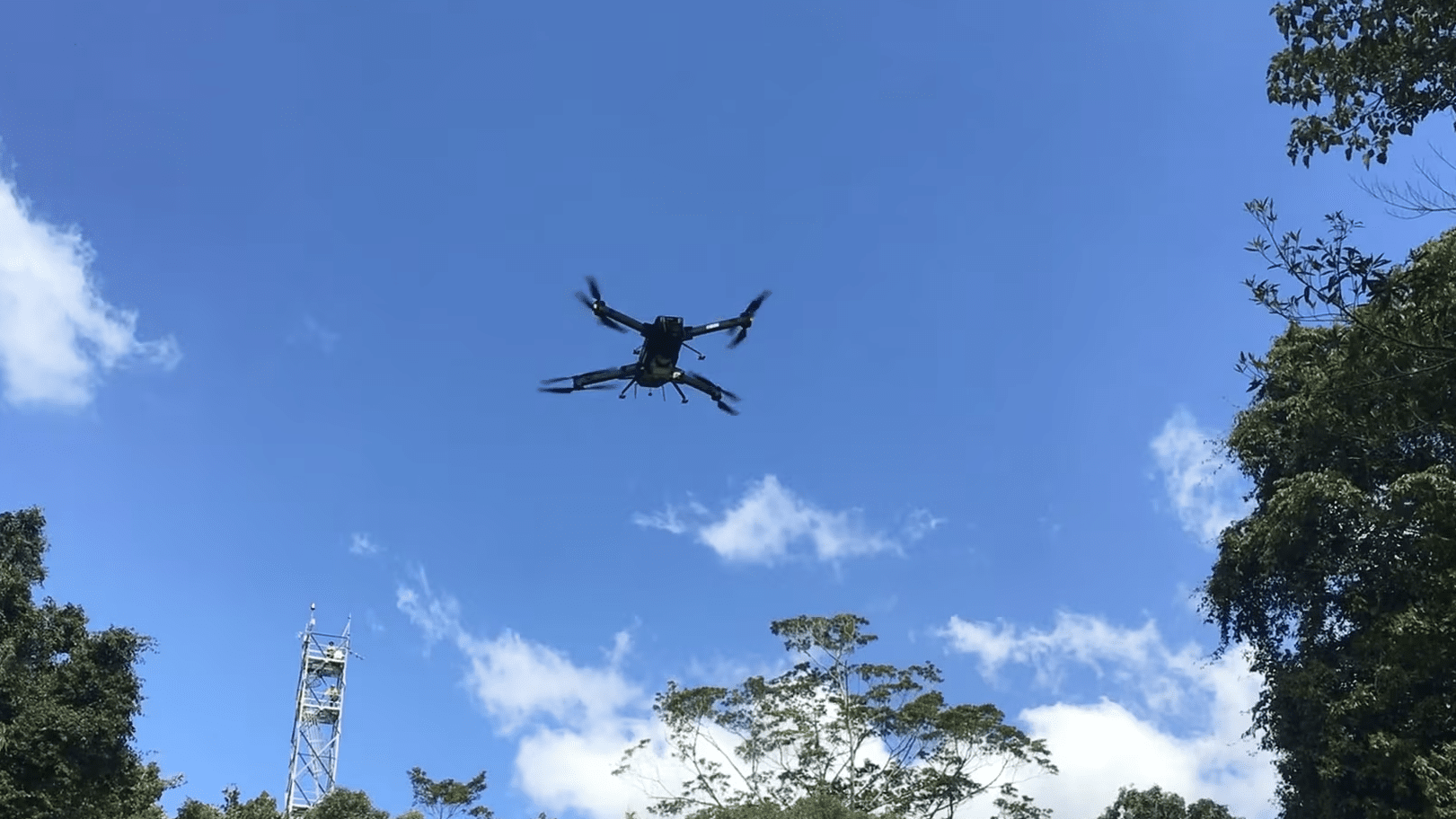
The TERN Robson Creek Rainforest SuperSite has the highest biomass (419 ton/Ha) and rainfall (2264mm) in the TERN network. The 25Ha forest dynamics plot at Robson Creek monitors over 200 species of tropical rainforest trees and is used as a validation site for satellite based remote sensing (Copernicus LST). What is attractive as a UAV validation site is the ability to pilot the UAV while on top of the tower allowing Visual Line Of Site (VLOS) for the entire flight.
The Cal/Val team flew an RTK drone and simultaneously captured LiDAR, RGB imagery and data from a 10-band multispectral camera. While this is a useful dataset by itself, the ultimate goal is to bring DEA UAVs with a full range spectrometer and VIS/NIR pushbroom imager and capture data during overpasses of Landsat and Sentinel-2 satellites. This will provide an opportunity to test the DEA ARD products over a tropical rainforest, something that would not have been possible even 5 years ago.
DEA’s two heavy-lift UAVs, which carry a spectrometer and pushbroom sensor, are more challenging to operate so this first mission has provided valuable experience for planning and operating the UAVs in subsequent visits.
The Cal/Val team hopes to visit other TERN sites as these sites represent a number of different biomes, which are representative of much or the Australian continent. These validation datasets will provide a measure of the accuracy of DEA ARD products in these formally difficult or impossible to get to places and allow DEA to improve these products for the whole continent.
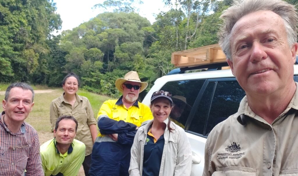
The Geoscience Australia (GA) Digital Earth Australia (DEA) branch team acknowledged the time, help and advice provided by James Cook University personnel – Mike Liddell (TERN), Nico Weigand (TERN) and Karen Joyce during its Far North Queensland visit.