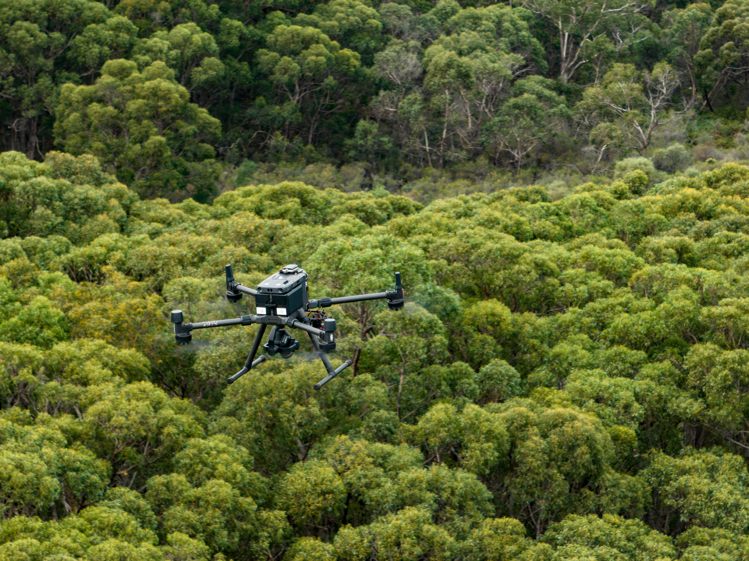
GeoNadir and the Terrestrial Ecosystem Research Network (TERN) have completed a project to make all TERN’s current and future drone mapping data available on the GeoNadir global map. TERN is Australia’s national ecosystem observatory and has over 1000 sites around Australia where drones are used to capture changes in vegetation and landscape characteristics. GeoNadir is a dedicated data repository allowing users to search, access, visualise, analyse, and share drone data.
TERN has a wide range of open access published data related to Australian land-based and coastal ecosystems, which are derived from remote sensing, drones, models, sensors and surveys. By also publishing and making its drone data findable through GeoNadir’s specialised data repository, TERN hopes to increase findability and usage of this defined dataset.
To upload the large volumes of drone images, TERN and GeoNadir have developed a command line tool that ingests any raw drone mapping data from the TERN repository into GeoNadir for further processing to derive orthomosaics and make them available for the broader drone community. All TERN datasets in GeoNadir will have a link to the metadata at TERN and related information so that users can enjoy the full utility of FAIR (Findable, Accessible, Interoperable, and Reusable) data.
"The aim of the collaboration has been to improve accessibility to and awareness of drone data. The capacity to discover and access data from multiple repositories is critical for successful decision-making in various domains. This productive collaboration would not have happened without SmartSat CRC funding, which was available for groups like TERN to work with industry partners to build tools and services that are mutually beneficial. We are pleased that one of the project outcomes is that other organisations can use the tool built as part of the project to share their own data. This means our TERN-GeoNadir project outcome now has the potential to enable further collaboration between research infrastructure projects and industries."
TERN Director, Dr Beryl Morris

The tool developed through the GeoNadir-TERN collaboration ensures that a replica of future drone mapping data collected and stored on the TERN repository will be automatically sent to GeoNadir, making those datasets discoverable with other drone-related data collections held by GeoNadir. The automated workflow dramatically reduces staff time to upload data and ensures data are available to the public as soon as possible.
Another advantage arising from the collaboration is that while searching for datasets on the TERN Data Discovery Portal (TDDP), users can see data collections available from GeoNadir that have been made at the exact location. This will help users to become aware of a wider range of drone datasets that may be of interest from a given spatial location.
"TERN is leading the way here for ensuring that drone Earth observation data collected using public funds are disseminated widely, including in this case from a specialised drone repository. Together we have developed a simple workflow that can be easily enabled for other research and Government organisations to make their drone mapping data publicly available."
GeoNadir Co-founder, Dr Karen Joyce
The GitHub repo for the tool includes installation instructions. The command line tool has been made publicly available for other organisations that may wish to make their data open and accessible on GeoNadir’s global map.
TERN is funded through Australia’s National Collaborative Research Infrastructure Scheme (NCRIS) to operate the Australian Ecosystem Observation Network and is part of the Global Ecosystem Research Infrastructure, comprising all the world’s continental-scale observatories.
GeoNadir Pty Ltd is an Australian company based in Queensland. Its environmental drone mapping GeoNadir software aims to simplifies the management, processing, analysis, and collaboration of drone mapping data.
The GeoNadir-TERN collaboration was made possible through funding from the Australian Government’s Smart Sat CRC and Queensland Earth Observation Hub.