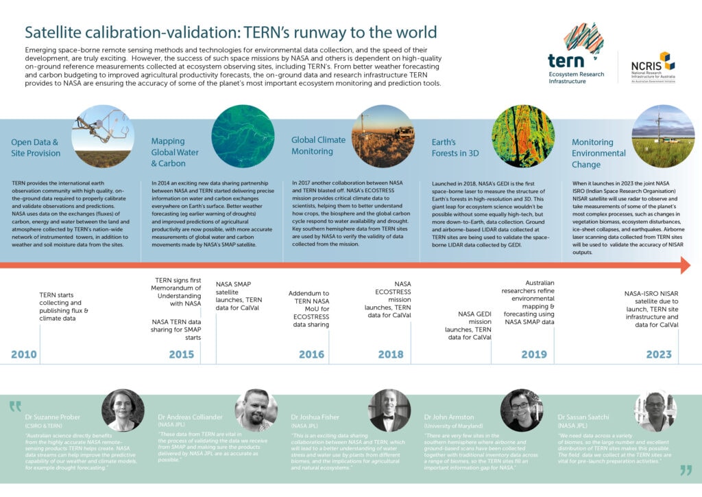
From better weather forecasting and carbon budgeting to improved agricultural productivity forecasts, the on-ground data and research infrastructure TERN provides to space agencies, including NASA, are ensuring the accuracy of some of the planet’s most important ecosystem monitoring and prediction tools.
Emerging space-borne remote sensing technologies and methods for environmental data collection, and the speed of their development, are truly exciting.
However, the success of such space missions by NASA and others is dependent on high-quality on-ground reference measurements collected at ecosystem observing sites, including TERN’s.
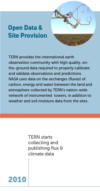
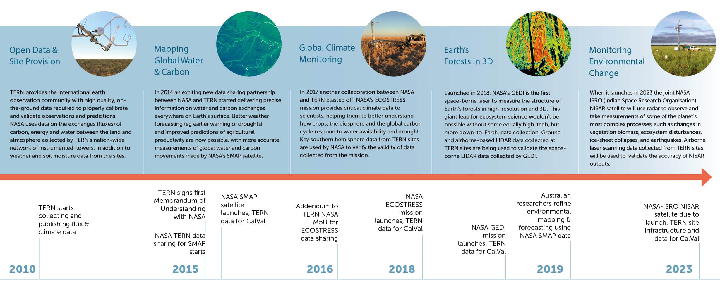
TERN provides the international earth observation community with high quality, on-the-ground data required to properly calibrate and validate observations and predictions.
International space agencies, including NASA, the European Space Agency (ESA) and the Indian Space Research Organisation (ISRO), use data on the exchanges (fluxes) of carbon, energy and water between the land and atmosphere collected by TERN’s nationwide network of instrumented towers, in addition to weather, soil moisture and laser scanning data collected at TERN’s national network of monitoring and surveillance sites.
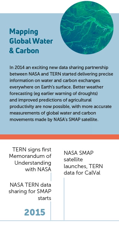
Mapping global water and carbon
Since 2014 a data sharing partnership between NASA and TERN has contributed to delivering precise information on water and carbon exchanges everywhere on Earth’s surface.
Better weather forecasting (e.g. earlier warning of droughts) and improved predictions of agricultural productivity are now possible, with more accurate measurements of global water and carbon movements made by NASA’s SMAP satellite.
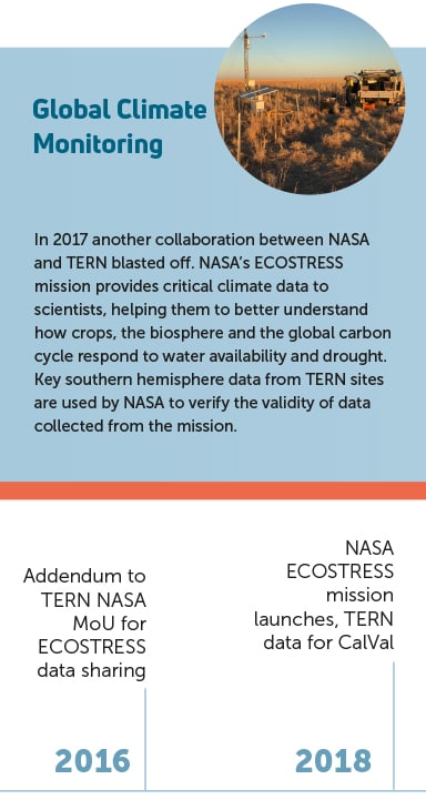
Global climate monitoring
In 2017 another collaboration between NASA and TERN blasted off. NASA’s ECOSTRESS mission provides critical climate data to scientists, helping them to better understand how crops, the biosphere and the global carbon cycle respond to water availability and drought.
Key southern hemisphere data from TERN sites are used by NASA to verify the validity of data collected from the mission.
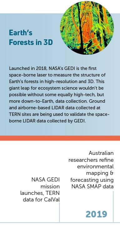
Earth’s forests in 3D
Launched in 2018, NASA’s GEDI is the first space-borne laser to measure the structure of Earth’s forests in high-resolution and 3D. This giant leap for ecosystem science wouldn’t be possible without some equally high-tech, but more down-to-Earth, data collection.
Ground and airborne-based LIDAR data collected at TERN sites are being used to validate the space-borne LIDAR data collected by GEDI.
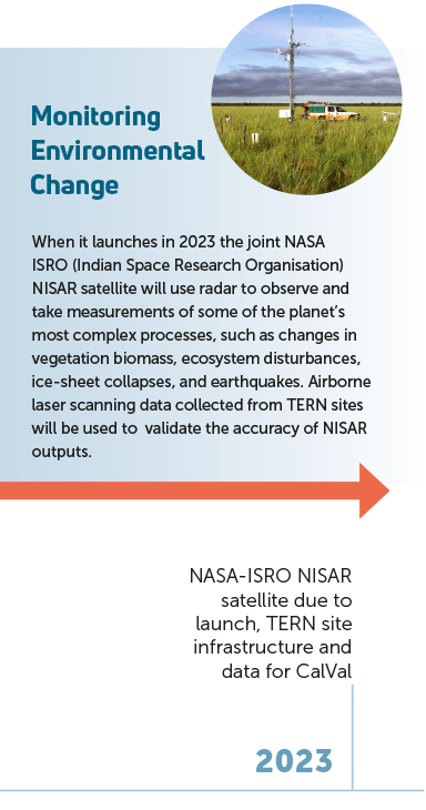
Monitoring environmental change
When it launches in 2022, the joint NASA ISRO NISAR satellite will use radar to observe and take measurements of some of the planet’s most complex processes, such as changes in vegetation biomass, ecosystem disturbances, ice-sheet collapses, and earthquakes.
Airborne laser scanning data collected at and around TERN sites will be used to validate the accuracy of NISAR outputs.
TERN sites the proving-ground for remote-sensing innovation
In 2015, SpaceX launched a revolutionary satellite to monitor space weather, space climate and provide a system of warning Earth of solar magnetic storms. The joint NASA NOAA (National Oceanic and Atmospheric Administration) satellite—called Deep Space Climate Observatory (DSCOVR)—also provides important Earth Observation data.
Using a variety of data from DSCOVR, Dr Jan Pisek from Estonia‘s University of Tartu, has developed a new method for assessing vegetation clumping, and in turn, its influence on photosynthesis and water and carbon cycles.
The innovative new method was evaluated using in-situ measurements taken at five TERN sites in 2013 and 2019.