TERN Ecosystem Processes
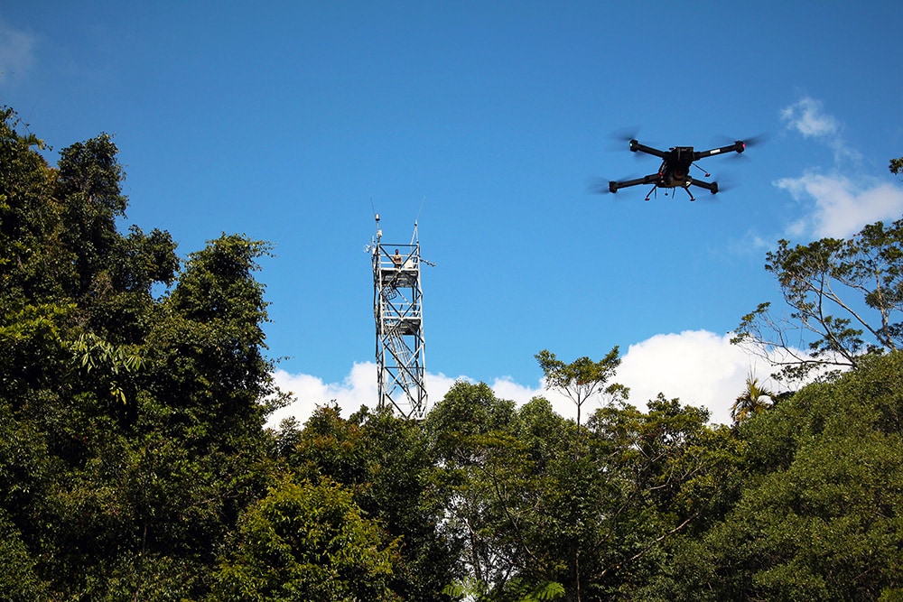
TERN’s Ecosystem Processes platform monitors the environment at a high level of detail at a small number of representative sites.
The environmental data collection methods for Ecosystem Processes include intensive field stations which combine instrumented or sensor measurements with classical field surveys and remote sensing activities at the sites located in significant Australian biomes, spanning a wide range of environmental conditions.


Alice Mulga SuperSite
Located on Pine Hill Cattle Station 200km north of Alice Springs, NT.
In arid and semi-arid country receiving less than 500mm of annual rainfall.
Litchfield Savanna SuperSite
Located in Litchfield National Park, 80km south of Darwin, NT.
High rainfall, frequently burnt, tropical savanna.
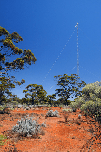
Great Western Woodlands SuperSite
Located at Credo Station, a former pastoral property in Western Australia’s Goldfields region, near Kalgoorlie, WA.
The largest remaining intact temperate or ‘Mediterranean’ woodland in the world.
Samford Peri-Urban SuperSite
Located in the peri-urban area 20kms north west of metropolitan Brisbane in the Samford Valley, QLD.
Supporting urban, agricultural and recreational land uses.
Boyagin Wandoo Woodland SuperSite
Located in the Boyagin Nature Reserve, approximately 12 km west of Pingelly, WA.
It is located in the Avon Wheatbelt and has semi-arid warm mediterranean climate.
Calperum Mallee SuperSite
Mallee semi-arid ecosystem, fringing the River Murray floodplains on Calperum Station, near Renmark, SA.
Undulating mallee woodlands and riverine vegetation fringing the river, recovering from extensive grazing.
Cumberland Plain Woodland SuperSite
Located in remnant Eucalyptus species woodland in the Cumberland Plain, at the University of Western Sydney’s Hawkesbury campus in Richmond, NSW.
Associated research infrastructure extends into the Blue Mountains ecoregion.
Daintree Rainforest SuperSite
TERN’s affiliate Daintree Rainforest SuperSite is comprised of two field sites, Daintree Rainforest Observatory (DRO) at Cape Tribulation. 120 km north of Cairns, QLD.
A long-term monitoring site, canopy crane and extensive researcher and teaching infrastructure. Nearby is the Daintree Discovery Centre site, an ecotourism interpretive centre with canopy tower, flux tower, aerial walkway and scientific monitoring.
Robson Creek Rainforest SuperSite
Located on the Atherton Tablelands in Danbulla National Park within the Wet Tropics World Heritage area.
The site’s climate is seasonal with approximately 60% of annual rainfall falling between January and March. The landform is moderately inclined although rises to 1276m to the north.
Gingin Banksia Woodland SuperSite
Located on the Swan Coastal Plain, 10km southwest of Gingin, near Perth, WA, land traditionally owned by the Yued group of the Noongar people.
A natural woodland of high species diversity dominated by Banksia spp, that overlays the Gnangara groundwater mound.
Mitchell Grass Rangeland SuperSite
Located near Longreach in western Queensland in the Mitchell Grass Downs IBRA bioregion, that covers approximately 47 million hectares (14% of Queensland and 6% of Australia).
Tumbarumba Wet Eucalypt SuperSite
Located in the Bago State Forest, near Batlow, NSW.
Managed, open wet sclerophyll Eucalypt forest, roviding records over a decade on the weather, climate, net uptake of CO2 and loss of water via evapotranspiration.
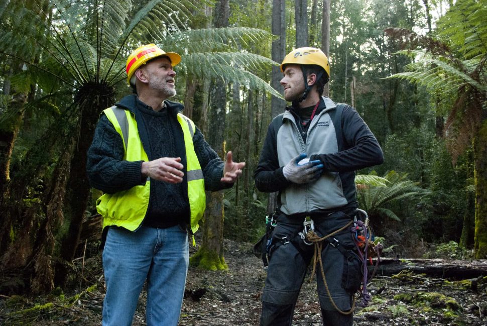
Warra Tall Eucalypt SuperSite
60km west south-west of Hobart, TAS. It lies partly within the Tasmanian Wilderness World Heritage Area and within State forest.
Tall, wet Eucalyptus obliqua forests predominate and are part of the cool, temperate wet forest biome.
Whroo Dry Eucalypt SuperSite
4 km south-west of Shepparton, VIC on the lands of the Ngurai-illam-wurrung Aboriginal people.
Classified as box woodland, dominated by two main Eucalypt species (Eucalyptus microcarpa (Grey Box) and Eucalyptus leucoxylon (Yellow Gum)).
14 of 16Wombat Stringybark Eucalypt SuperSite
Located in the Wombat State Forest, near Ballarat, VIC.
Investigating the impacts of climate change and disturbances, such as fire and drought, on the dry sclerophyll eucalypt forests in southeast Australia.
NEW! Fletcherview Tropical Rangeland SuperSite
Located at James Cook University’s Fletcherview Research Station, two hours west of Townsville, Qld.
Open savanna woodland, dry rainforest, lava flows, three creek systems and the Burdekin River.
Data, Environmental Data Collection Methods, Tools, Services & Equipment
TERN Ecosystem Processes data are derived by data collection methods that span from periodic field surveys and in-situ sensors operated continuously at a local scale. The process of environmental monitoring delivers:
- Micro-meteorological observations of atmospheric-ecosystem energy, carbon and water exchanges ; and
- Biological and environmental observations of flora, fauna, microbial biodiversity, soils, and hydrology.

- Soil temperature
- Air temperature
- Air relative humidity
- Wind speed & direction
- Rainfall
- Net radiation
- Incoming/outgoing shortwave/longwave radiation
- Sensible heat flux*
- Soil heat flux*
- Net radiation
- H2O concentration
- Rainfall
- Latent heat flux*
- Soil moisture
- Total evaporation*
- Water-use efficiency*
- CO2 concentration
- Net ecosystem exchange*
- Gross primary productivity*
- Net ecosystem respiration*
- Water use efficiency*
- Acoustic sensors (daily)
- Bird surveys#
- Vegetation species list
- Vegetation floristic surveys (5 yearly)
- Soil microbial biodiversity^
- DBH (5 yr)
- Stem height (5 yr)
- Stem mapping (5 yr)
- Standing Above Ground Biomass
- Wood decomposition (5 yr)
- Aquifer depth sensors (hourly)
- Water flow sensors (hourly)#
- Water quality sensors (hourly)#
- Soil moisture (Cosmos) (daily)#
- Photopoints (annual)
- Phenocam sensors (hourly)
- Leaf Area Index (6 monthly)
- Ground cover (5 yearly)
- Vegetation cover (5 yearly)
TERN’s network of sites is well equipped with a huge variety of monitoring devices to measure ecosystem change across the continent. TERN advocates for using the scientific method for ecological research and welcomes co-use of sites by researchers. Find out more details here.
- Weather stations
- CO2 concentration gas analysers
- Radiometers
- Anemometers
- Heat flux plates
- Spectrometers
- COSMOS soil moisture meters
- Bio-acoustic sensors
- Phenocams
- Water quality sensors
- Groundwater bores
- + more
* Modelled data product
# Measurements collected at a sub-set of sites
^ Data collected in collaboration with NCRIS-enabled Bioplatforms Australia as part of the Biome of Australia Soil Environments (BASE) project
What is a SuperSite?
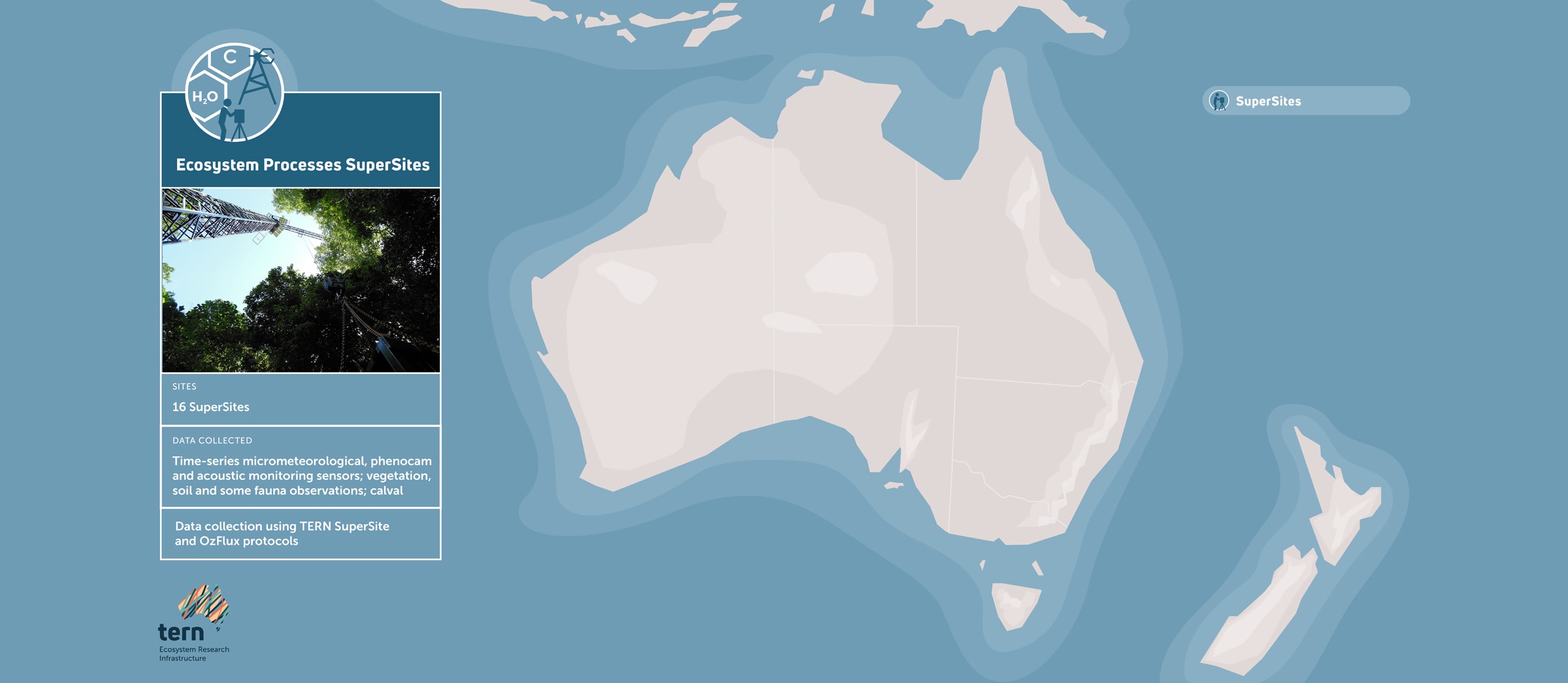
A SuperSite is an intensive ecosystem observatory set up to facilitate the environmental monitoring process and examine the status and ecosystem processes of one of Australia’s many ecological systems.
Each SuperSite comprises a main field site that takes vegetative, faunal and biophysical measurements and works over at least one gradient (topographical or ecological) transect in a typical and important biome in Australia.
The scale of the SuperSites (10–200 km) is larger than a plot but smaller than a Long-term Ecological Research (LTER) plot system.
A SuperSite uses existing and recently deployed environmental monitoring process installations to collect comprehensive sets of long-term ecosystem data of high temporal and spatial resolution.
Core research conducted at a SuperSite includes measurements from micrometeorological flux stations, plant physiological measurements, as well as long-term vegetation and fauna monitoring.

Management

Assoc Prof Nicholas Friedman
Ecosystem Processes Platform Lead

Dr Yoko Ishida
Project Coordinator


