Environmental Research Impact
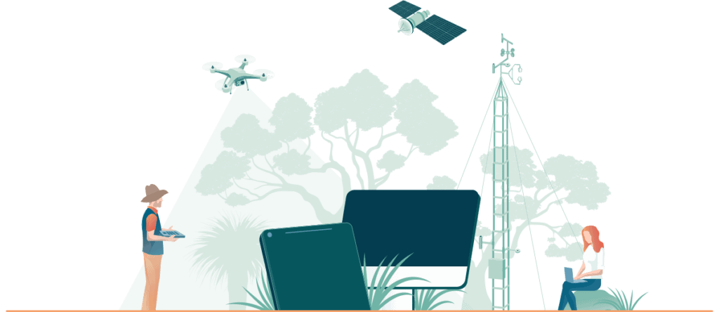
At TERN, our mission is to provide long-term preservation of and access to analysis-ready data for researchers and decision makers to help Australia prepare for the future. We generate environmental research impact through the opportunities we create for researchers by providing them with foundational data and information products relevant to their analyses in the areas of biodiversity, carbon and water exchange as well as land and terrain. Environment research is central to our efforts, with researchers from a wide range of professions and discipline areas leveraging TERN infrastructure in their work. Find out more about the environmental research impact of our work below.
Interested in learning more or accessing our data? Reach out to us online or explore our extensive datasets and tools through our TERN data portal.
Tools that support the discovery, analysis and re-use of data
- Cloud-based virtual desktop to run and share experiments (CoESRA)
- Data submission, harmonisation and retrieval of ecological data (SHaRED)
- Discovery, mapping and analysis of landscape-scale ecosystem datasets (Data Visualiser)
- Cloud-based analysis, synthesis and training platform
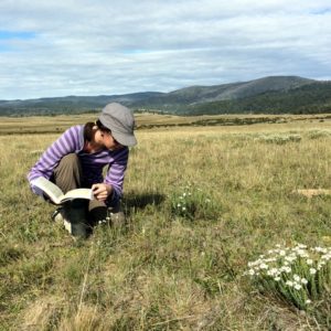
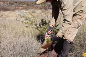
Biodiversity
Observing terrestrial biodiversity from gene to ecosystem levels, monitoring patterns of change and the drivers of change.
The national scope of TERN’s environment research activities, our networks of scientists and technical staff, and our focus on sharing and synthesising data are enabling the development of a continental-scale understanding of what is happening to Australia’s biodiversity.
TERN provides open access to decades of historical and newly acquired field and Earth observation data on the state and change of Australia’s mangrove ecosystems. These data alert scientists and managers to coastal environmental change, provide new knowledge on the causes and impacts of this change, and support the sustainable management of our immensely important mangrove ecosystems. The data also enhance Australia’s contribution to achieving the global Sustainable Development Goals set by the United Nations.
Find out more here.
TERN data and infrastructure have been used to map South Australia’s biodiversity hotspots, identify their climate change sensitivity, and ultimately inform priorities and strategies for conservation management.
Find out more here.
A global analysis of the distribution of forests and woodlands across dryland ecosystems using TERN data has increased current estimates of global forest cover by nearly 10%. The work, which made the cover of Science Magazine, is a direct result of TERN’s on-going collaborations with the United Nation’s Food and Agriculture Organization through their Global Forest Survey, which uses TERN data for crucial on-ground verification of satellite-based analyses.
Find out more here.
The Australian Government has adopted TERN’s environmental monitoring protocol to assess the rehabilitation of mines following closure.
Find out more here.
Analyses of soil and vegetation samples collected by TERN on Kangaroo Island, South Australia, before and after the catastrophic 2019/20 bushfire are enabling scientists to track post-fire environmental recovery and ecosystem resilience.
Find out more here.
TERN is the new custodian of the Threatened Species Index (TSX) project.
Find out more here.
Carbon & Water
Monitoring the interaction between ecosystems and climate including the exchange of carbon, water and energy and responses to extreme events.
TERN’s data collection infrastructure and end-user-focused products are delivering better ways of measuring and understanding Australia’s current and future environmental carbon and water stocks and flows. These efforts directly contribute to advancing environment research and enable informed decision making.
Research using NCRIS-enabled TERN infrastructure improves our understanding of the amount of rain our arid ecosystems need before they switch from being carbon absorbers to emitters.
Find out more here.
From better weather forecasting and carbon budgeting to improved agricultural productivity forecasts, the on-ground data and research infrastructure TERN provides to NASA are ensuring the accuracy of some of the planet’s most important ecosystem monitoring and prediction tools.
TERN’s near real-time satellite data products are enabling early and accurate estimates of grain crops and regular seasonal outlooks for sorghum and wheat. Advanced knowledge of likely crop size and its geographical distribution help industry make strategic decisions and avoid market volatility within Australia and globally.
Find out more here.
Long-term quality data collected by TERN and its partners on our continent’s land-atmosphere exchanges of energy, carbon and water, have been recognised by scientists as perhaps the world’s most valuable observations for building and evaluating models for projecting future droughts and heatwaves.
Find out more here.
Researchers are using TERN infrastructure to take part in a landmark global experiment that investigates ecosystem response to drought. The experiment’s findings will help to predict and mitigate the impacts of drought in Australia and around the world.
Find out more here.
A new interactive website, built by university students, tells this story of Perth’s Gnangara aquifer, and visualises the data collected by TERN and its partners at the TERN Gingin Banksia Woodland SuperSite.
Find out more here.
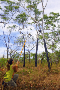
Land & Terrain
Tracking key processes such as fire, land use, and climate change; and monitoring soils and vegetation to build a better national picture of our major ecosystems.
TERN enables Australia to progress towards sustainability on a continental scale, allowing pastoralists, government agencies and the ecosystem science community to work across jurisdictional boundaries, measure and monitor change, and manage our ecosystem assets. Our work significantly strengthens Australia’s environment research capabilities.
TERN’s new world-leading soil moisture information system provides nation-wide daily estimates of volumetric soil moisture at a 1km resolution and an index of how full (or wet) the top 90cm of soil is at a particular location and time.
Find out more here.
Research using TERN-delivered remote sensing data and digital soil maps has assessed the state and trends of hillslope erosion across New South Wales. The new approach for monitoring and predicting hillslope erosion is significantly improving land management practices and bushfire recovery activities nation-wide.
Find out more here.
An innovative project is using TERN satellite data together with on-ground time-lapse cameras and pollen monitors to track grass pollen sources, their evolution, and impact areas. The forecasts generated will help alleviate Australia’s $30B medical and socioeconomic allergy burden and change the lives of millions of Australians for the better.
Find out more here.
TERN data are being used to develop new tools to model and predict the occurrence of dust storms so that we can manage associated risks.
Find out more here.
Researchers are using TERN to learn from our ‘phosphorus-efficient’ native plants and develop novel approaches that could save our agricultural industries millions of dollars every year.
Find out more here.
Queensland Government scientists are using all scales of TERN data to help monitor and manage grazing pressure in the state’s two largest river catchments, Burdekin and Fitzroy, which flow to the coast, where they impact the Great Barrier Reef.
Find out more here.
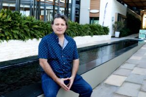
People Using TERN
Uses – and users – of TERN infrastructure are now found in all shapes and sizes, from many different professions and disciplines, and from all parts of the country, and beyond. To showcase the diversity of our end-user community, we profile just a small number of individuals, looking at how TERN is helping them work more collaboratively, efficiently and effectively.
Click on the boxes below to ‘meet’ some of them.
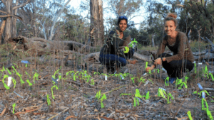
People using TERN: Ecologists Megan Good and Libby Rumpff launch new threatened woodland recovery plan
People using TERN: Marie Yee
People using TERN: Keren Raiter
People using TERN: Renée Marchin
People using TERN: Ashlea Doolette
People using TERN: Jen Peters
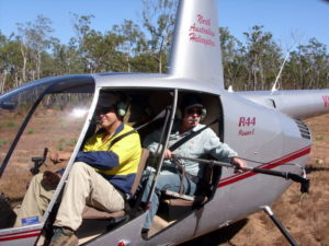
People using TERN: Andries Potgieter
People using TERN: Andrew Edwards

People using TERN: Ellen Miech
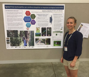
People using TERN: Jessie Buettel

People using TERN: UN FAO
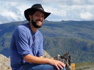
People using TERN: James Furlaud
People using TERN: National Australia Bank

People using TERN: Janet Davies

People using TERN: Corey Bradshaw
People using TERN: Jan Pisek
Observing Environmental Change in Australia book
The book is an accessible guide to ecosystem science and its underpinning research infrastructure and is designed for upper secondary and early tertiary level students. It tells the stories of some of Australia’s environmental science heroes.
To download a PDF, click on the SlideShare logo in the bottom right corner of the viewer, then the blue download button on the SlideShare page.

Environmental Research Impact of Our Work
Our work provides a foundation for an improved understanding of what is happening to Australia’s biodiversity on a continental scale. Our contributions range from identifying new plant species in order to better understand what they mean for our native ecosystems, through analyses of soil and vegetation samples before and after bushfire events, to delivering better ways of measuring and understanding Australia’s current and future environmental carbon and water stocks and flows.
As an ecological research organisation, we provide model-ready data, samples, and site-based research infrastructure freely to the Australian and international scientific communities research services, as a result our organisation’s work has contributed research resources for over 1500 peer-reviewed scientific publications. These resources are critical to advancing environment research and supporting actionable insights.
We deliver quality data, tools and expertise to researchers who are working to understand Australia’s environment and so enable its management for sustainable social and economic benefit. We enable progress towards environmental sustainability and resilience on a continental scale, providing key decision makers and scientists with the tools they need to measure and monitor change, and better manage our ecosystem assets. This long-term commitment to high-quality data sharing continues to expand the environmental research impact across Australia and beyond.
Want to learn more or contribute to Australia’s environmental research impact? Visit our contact page or browse our TERN data portal to explore environment research tools and datasets.